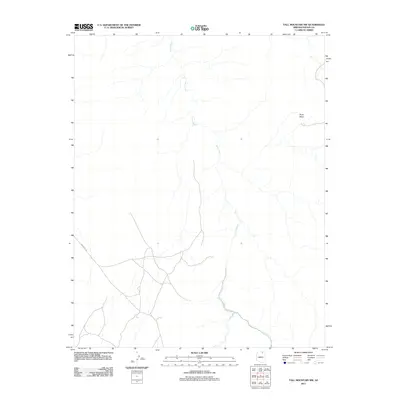
2011 Map of Tall Mountain NW
USGS Topo · Published 2011About this map
Piute Creek defines the drainage of this high plateau landscape, winding its way through the arid terrain of Navajo County, Arizona. The northeastern portion of the map is dominated by the elevated Piute Mesa, a prominent landform that provides a clear sense of the vertical relief in this desert environment. Human activity is marked primarily by the presence of Indian Rte 16, which traverses the southern half of the quadrangle, serving as a primary corridor through this sparsely populated region. This 2011 survey, produced by the U.S. Geological Survey, provides a detailed record of the local topography and the specific path of the creek before it exits the quadrangle. For those studying the Navajo Nation's modern road network or the natural geography of the Four Corners region, this map offers precise technical detail on the intersection of water and infrastructure.
Find a feature on this map
3 named features on this map. Tap any name to fly to it.
Don’t see what you’re looking for? This feature index may not catch every label — zoom into the map to look around manually.
Map Details
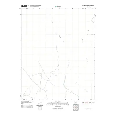
Editions of this 2011 Tall Mountain NW Map
2 editions found
Other maps of this area

1883 · Marsh Pass
USGS Topo · 1:250,000

1886 · Henry Mountains
USGS Topo · 1:250,000

1892 · Marsh Pass
USGS Topo · 1:250,000

1892 · Henry Mountains
USGS Topo · 1:250,000

1952 · Shato Spring 1 NE
USGS Topo · 1:24,000

1952 · Navajo Mtn. 4 SE
USGS Topo · 1:24,000

1953 · Navajo Mountain 4 SW
USGS Topo · 1:24,000

1953 · Navajo Mountain
USGS Topo · 1:62,500

1953 · No Mans Mesa
USGS Topo · 1:62,500

1956 · Escalante
USGS Topo · 1:250,000