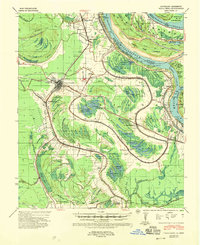
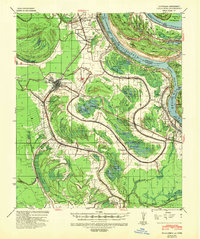
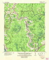
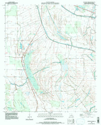
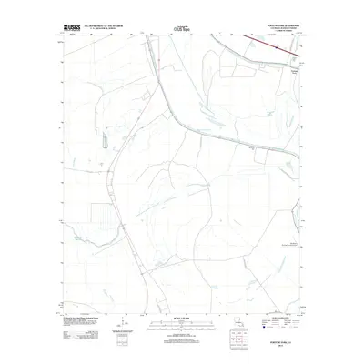
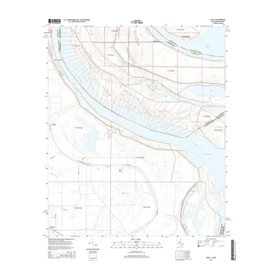
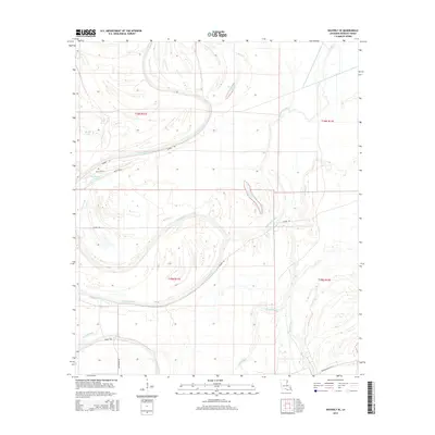
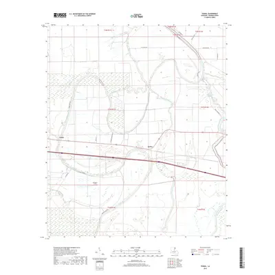
1939 Map of Talla Bena
USGS Topo · Published 1958About this map
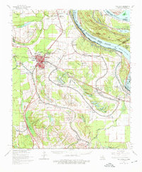
Tallulah serves as the focal point of this late 1930s landscape, characterized by the intricate drainage patterns of Madison Parish and the shifting course of the Mississippi River. The map reveals a transition from traditional river landings like Millikens Bend Ldg and Morancy or Rose Hill Ldg to land-based infrastructure including the Missouri Pacific and Illinois Central railroads. A significant information-gain insight is found in the recorded Meander Line 1822 and the Cut-Off 1934, which illustrate how engineering and natural forces redrew the Louisiana-Mississippi state line over a century. The landscape is dotted with evidence of early habitation at numerous Indian Mounds and Indian Mound sites, while scientific and civic development is represented by the U S D A Delta Lab and the local Fair Ground.
Find a feature on this map
74 named features on this map. Tap any name to fly to it.
Don’t see what you’re looking for? This feature index may not catch every label — zoom into the map to look around manually.
Map Details
Editions of this 1939 Talla Bena Map
2 editions found
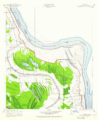
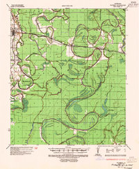
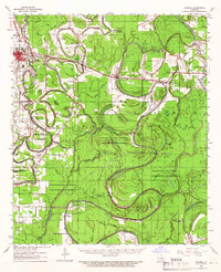
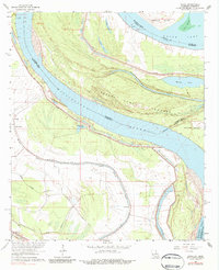
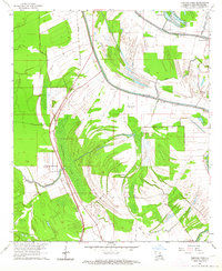
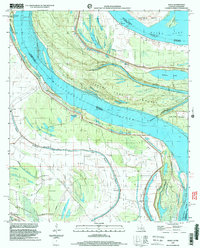
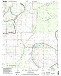
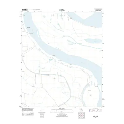
Historical Maps of Tallulah Through Time
39 maps found
1909 Millikens Bend
Madison Parish, LA
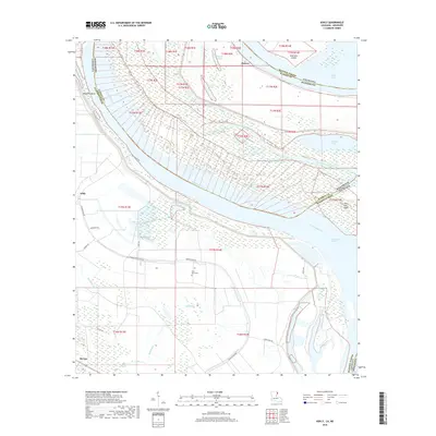
1935 Waverly
Madison Parish, LA
1939 Onward
Madison Parish, LA
1939 Talla Bena
Madison Parish, LA
1961 Waverly
Madison Parish, LA
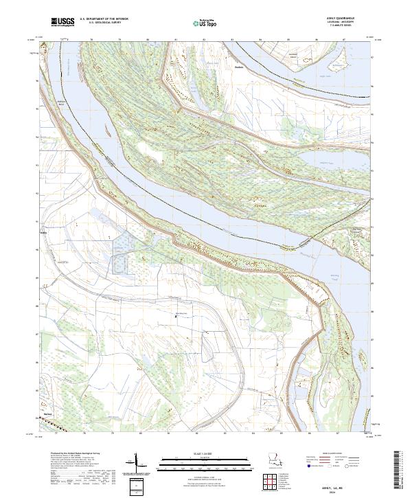
1963 Ashly
Madison Parish, LA
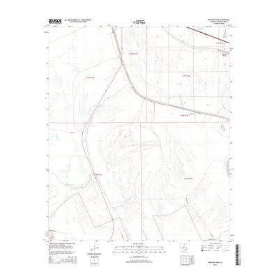
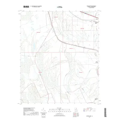
1963 Fortune Fork
Madison Parish, LA
1965 Talla Bena
Madison Parish, LA
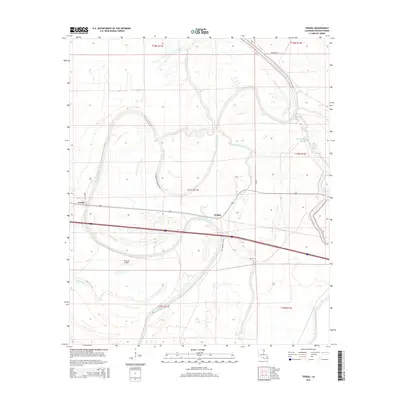
1986 Tendal
Madison Parish, LA
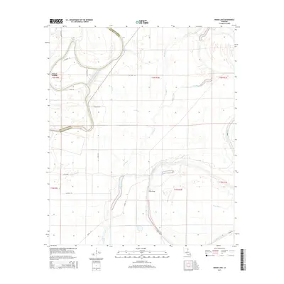
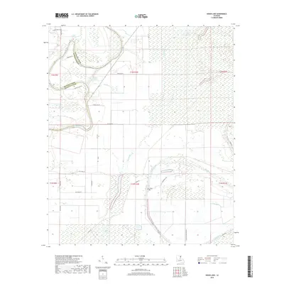
1987 Indian Lake
Madison Parish, LA
1987 Waverly SE
Madison Parish, LA
1994 Fortune Fork
Madison Parish, LA
1998 Ashly
Madison Parish, LA
1998 Indian Lake
Madison Parish, LA
2012 Ashly
Madison Parish, LA
2012 Fortune Fork
Madison Parish, LA
2012 Indian Lake
Madison Parish, LA
2012 Tendal
Madison Parish, LA
2012 Waverly SE
Madison Parish, LA
2015 Ashly
Madison Parish, LA
2015 Fortune Fork
Madison Parish, LA
2015 Indian Lake
Madison Parish, LA
2015 Tendal
Madison Parish, LA
2015 Waverly SE
Madison Parish, LA
2018 Ashly
Madison Parish, LA
2018 Fortune Fork
Madison Parish, LA
2018 Indian Lake
Madison Parish, LA
2018 Tendal
Madison Parish, LA
2018 Waverly SE
Madison Parish, LA
2020 Ashly
Madison Parish, LA
2020 Fortune Fork
Madison Parish, LA
2020 Indian Lake
Madison Parish, LA
2020 Tendal
Madison Parish, LA
2020 Waverly SE
Madison Parish, LA
2024 Ashly
Madison Parish, LA
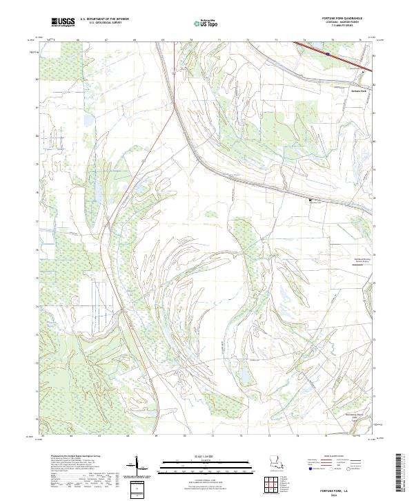
2024 Fortune Fork
Madison Parish, LA
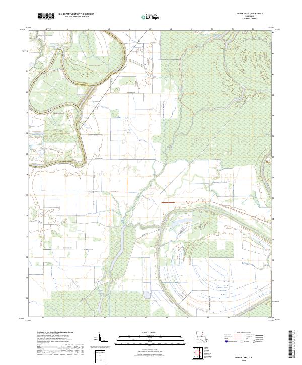
2024 Indian Lake
Madison Parish, LA
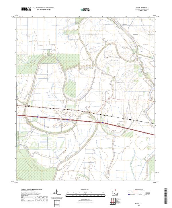
2024 Tendal
Madison Parish, LA
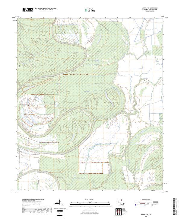
2024 Waverly SE
Madison Parish, LA