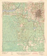
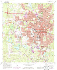
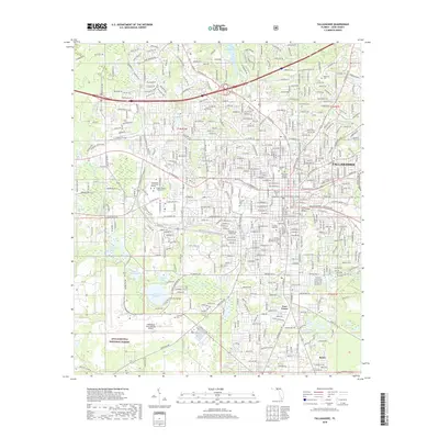
1943 Map of Tallahassee
USGS Topo · Published 1943About this map
Tallahassee is captured here as a growing capital city during the early 1940s, its urban footprint defined by the presence of Florida State College for Women and Florida Agricultural and Mechanical College. The Seaboard Air Line RR serves as a primary transit artery, cutting through the terrain towards the Municipal Airport. Beyond the city limits, the landscape transitions into the heavily wooded wetlands of the Apalachicola National Forest, where a network of family-named schools and churches like Richardson Sch and Zion Hill Ch anchor rural communities.
Find a feature on this map
66 named features on this map. Tap any name to fly to it.
Don’t see what you’re looking for? This feature index may not catch every label — zoom into the map to look around manually.
Map Details
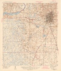
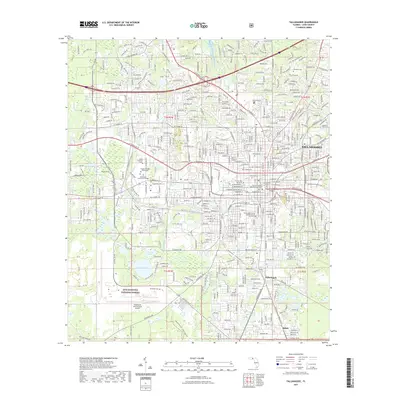
Editions of this 1943 Tallahassee Map
2 editions found
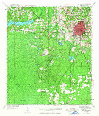
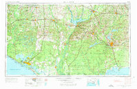
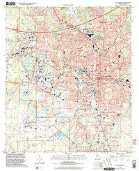
Historical Maps of Tallahassee Through Time
15 maps found
1940 Tallahassee
Leon County, FL

1942 Tallahassee
Leon County, FL
1943 Tallahassee
Leon County, FL
1954 Tallahassee
Leon County, FL

1959 Tallahassee
Leon County, FL

1960 Tallahassee
Leon County, FL
1970 Tallahassee
Leon County, FL

1979 Tallahassee
Leon County, FL

1988 Tallahassee
Leon County, FL
1999 Tallahassee
Leon County, FL
2012 Tallahassee
Leon County, FL
2015 Tallahassee
Leon County, FL
2018 Tallahassee
Leon County, FL
2021 Tallahassee
Leon County, FL
2024 Tallahassee
Leon County, FL