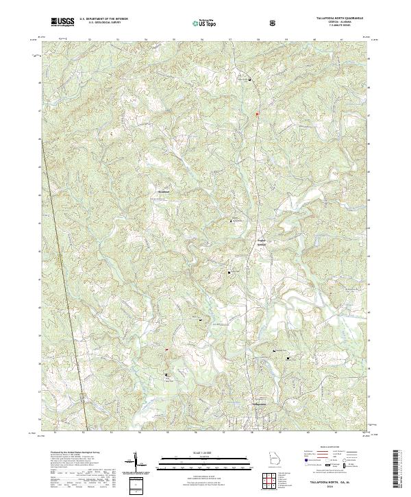
2024 Map of Tallapoosa North
USGS Topo · Published 2024About this map
The Tallapoosa River winds through the borderlands of Georgia and Alabama, anchoring a landscape where small rural settlements like Poplar Springs and Steadman have persisted for generations. This 2024 survey documents the dense network of county and local roads, such as Crossroads Church Rd and Poplar Springs Church Rd, that connect scattered homesteads and community centers. The map is particularly valuable for genealogical research, identifying numerous local burial grounds including Mount Zion West Cem and the New Canaan Cem. Small impoundments like Pope Lake and Spearman Lake punctuate the drainage basins of Terrapin Creek and Little Creek, reflecting the area's agricultural and recreational water management. The state line itself, dividing Cleburne Co, Alabama, from Haralson County, Georgia, cuts through the western edge of the quadrangle, illustrating the trans-border nature of the upper Tallapoosa basin.
Find a feature on this map
95 named features on this map. Tap any name to fly to it.
Don’t see what you’re looking for? This feature index may not catch every label — zoom into the map to look around manually.
Map Details
Editions of this 2024 Tallapoosa North Map
This is the sole edition of this map. No revisions or reprints were ever made.
Other maps of this area

1889 · Tallapoosa
USGS Topo · 1:125,000

1892 · Tallapoosa
USGS Topo · 1:125,000

1897 · Tallapoosa
USGS Topo · 1:125,000

1953 · Atlanta
USGS Topo · 1:250,000

1957 · Atlanta
USGS Topo · 1:250,000

1958 · Atlanta
USGS Topo · 1:250,000

1958 · Carrollton
USGS Topo · 1:62,500

1958 · Buchanan
USGS Topo · 1:62,500

1965 · Tallapoosa South
USGS Topo · 1:24,000

1966 · Tallapoosa North
USGS Topo · 1:24,000