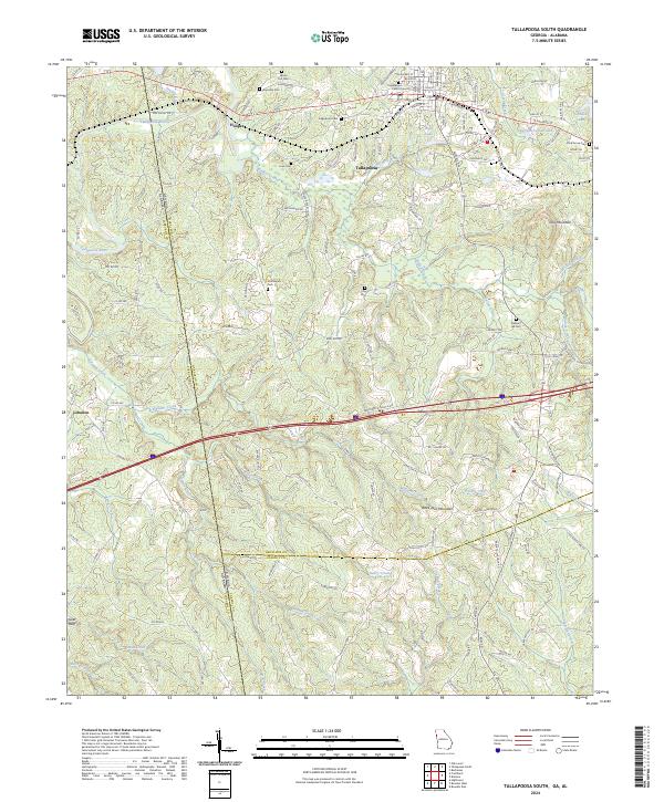
2024 Map of Tallapoosa South
USGS Topo · Published 2024About this map
Tally Mountain and Black Jack Mountain rise above the drainage basins of the Tallapoosa River and its numerous tributaries, including Walker Creek and Williams Creek. This recent topographic study documents the rural landscape where Haralson County, Georgia, meets Cleburne County, Alabama, and Carroll County to the south. The area is defined by its numerous family and community landmarks, particularly a high density of small cemeteries like Liner Cem, Clay Cem, and Riverside Cem that dot the wooded ridges and creek bottoms.
Find a feature on this map
150 named features on this map. Tap any name to fly to it.
Don’t see what you’re looking for? This feature index may not catch every label — zoom into the map to look around manually.
Map Details
Editions of this 2024 Tallapoosa South Map
This is the sole edition of this map. No revisions or reprints were ever made.
Other maps of this area

1889 · Tallapoosa
USGS Topo · 1:125,000

1892 · Tallapoosa
USGS Topo · 1:125,000

1897 · Tallapoosa
USGS Topo · 1:125,000

1953 · Atlanta
USGS Topo · 1:250,000

1957 · Atlanta
USGS Topo · 1:250,000

1958 · Atlanta
USGS Topo · 1:250,000

1958 · Carrollton
USGS Topo · 1:62,500

1958 · Buchanan
USGS Topo · 1:62,500

1965 · Tallapoosa South
USGS Topo · 1:24,000

1966 · Tallapoosa North
USGS Topo · 1:24,000