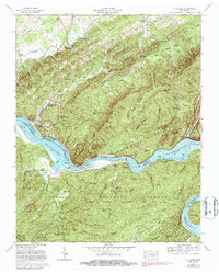
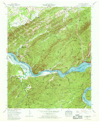
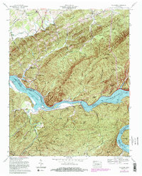
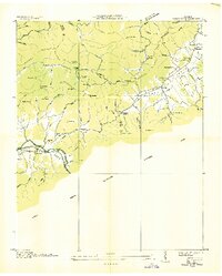
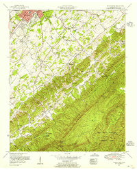
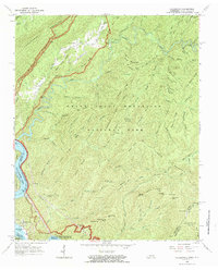
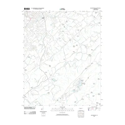
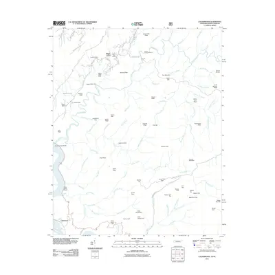
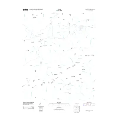
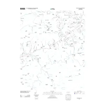
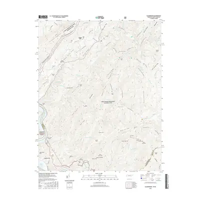
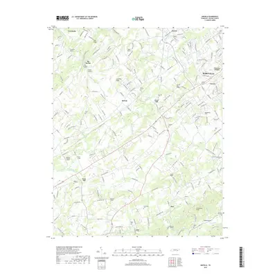
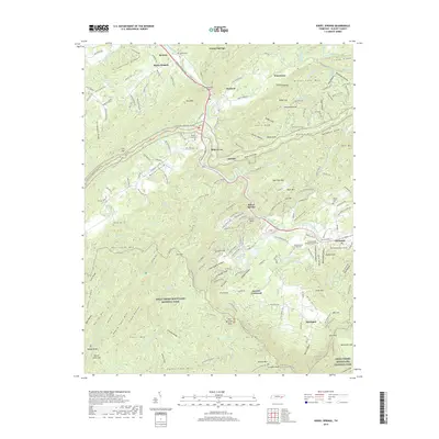
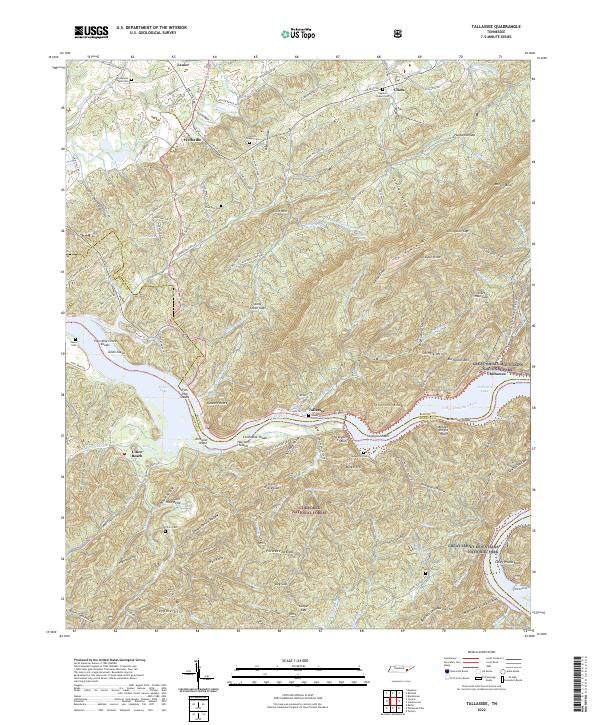
1966 Map of Tallassee
USGS Topo · Published 1985About this map
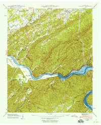
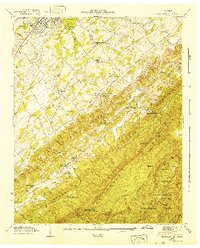
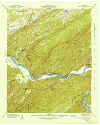
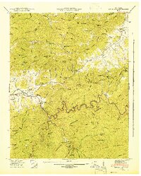
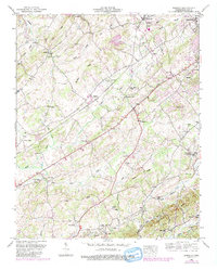
The Little Tennessee River winds through a dramatic landscape of steep ridges and deep valleys, where the Chilhowee Dam creates the expansive Chilhowee Lake. This mid-1960s survey, updated in the 1980s, documents a community transition where traditional riverside settlements like Tallassee and Chota sit near the boundaries of the Cherokee National Forest and the Great Smoky Mtns National Park. The topography is defined by the massive spine of Chilhowee Mountain, punctuated by remote landmarks like Stony Grave Gap and Chilogatee Gap.
Find a feature on this map
88 named features on this map. Tap any name to fly to it.
Don’t see what you’re looking for? This feature index may not catch every label — zoom into the map to look around manually.
Map Details
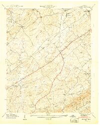
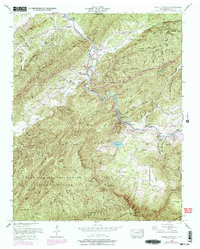
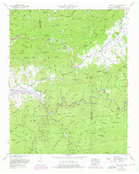
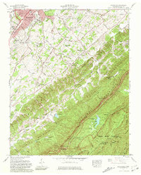
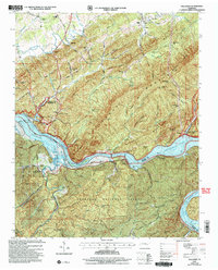
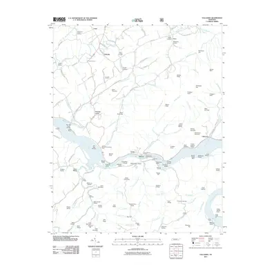
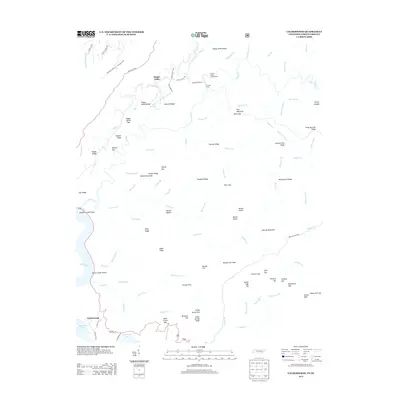
Editions of this 1966 Tallassee Map
3 editions found
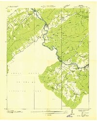
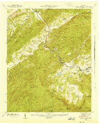
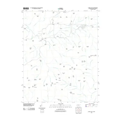
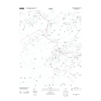
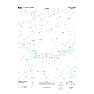
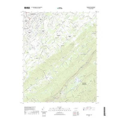
Historical Maps of Chilhowee Through Time
60 maps found

1935 Binfield
Blount County, TN

1935 Blockhouse
Blount County, TN

1935 Calderwood
Blount County, TN

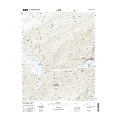
1935 Tallassee
Blount County, TN
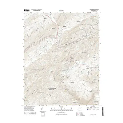
1936 Kinzel Springs
Blount County, TN
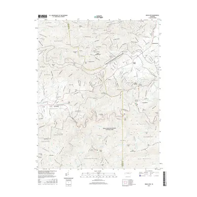
1936 Wear Cove
Blount County, TN
1941 Binfield
Blount County, TN
1941 Kinzel Springs
Blount County, TN
1941 Tallassee
Blount County, TN
1942 Blockhouse
Blount County, TN
1942 Tallassee
Blount County, TN
1942 Wear Cove
Blount County, TN
1952 Binfield
Blount County, TN
1953 Blockhouse
Blount County, TN
1953 Kinzel Springs
Blount County, TN
1953 Wear Cove
Blount County, TN
1964 Cades Cove
Blount County, TN
1964 Calderwood
Blount County, TN
1966 Blockhouse
Blount County, TN
1966 Tallassee
Blount County, TN

2000 Cades Cove
Blount County, TN

2000 Calderwood
Blount County, TN

2000 Thunderhead Mtn
Blount County, TN

2003 Calderwood
Blount County, TN
2003 Tallassee
Blount County, TN
2010 Binfield
Blount County, TN
2010 Blockhouse
Blount County, TN
2010 Cades Cove
Blount County, TN
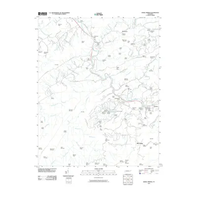
2010 Kinzel Springs
Blount County, TN
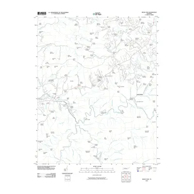
2010 Wear Cove
Blount County, TN
2011 Calderwood
Blount County, TN
2011 Tallassee
Blount County, TN
2013 Binfield
Blount County, TN
2013 Blockhouse
Blount County, TN
2013 Cades Cove
Blount County, TN
2013 Calderwood
Blount County, TN
2013 Kinzel Springs
Blount County, TN
2013 Tallassee
Blount County, TN
2013 Wear Cove
Blount County, TN
2016 Binfield
Blount County, TN
2016 Blockhouse
Blount County, TN
2016 Cades Cove
Blount County, TN
2016 Calderwood
Blount County, TN
2016 Kinzel Springs
Blount County, TN
2016 Tallassee
Blount County, TN
2016 Wear Cove
Blount County, TN
2019 Binfield
Blount County, TN
2019 Blockhouse
Blount County, TN
2019 Cades Cove
Blount County, TN
2019 Calderwood
Blount County, TN
2019 Kinzel Springs
Blount County, TN
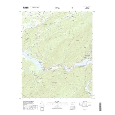
2019 Tallassee
Blount County, TN
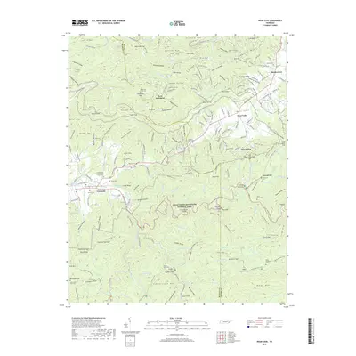
2019 Wear Cove
Blount County, TN
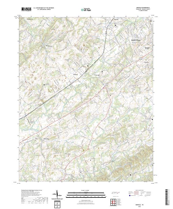
2022 Binfield
Blount County, TN
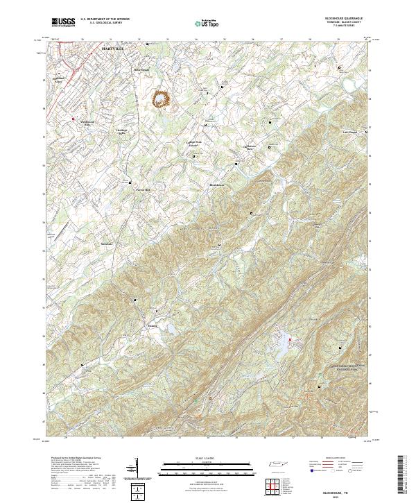
2022 Blockhouse
Blount County, TN
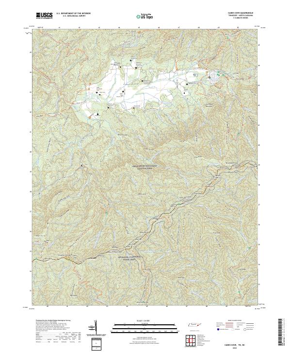
2022 Cades Cove
Blount County, TN
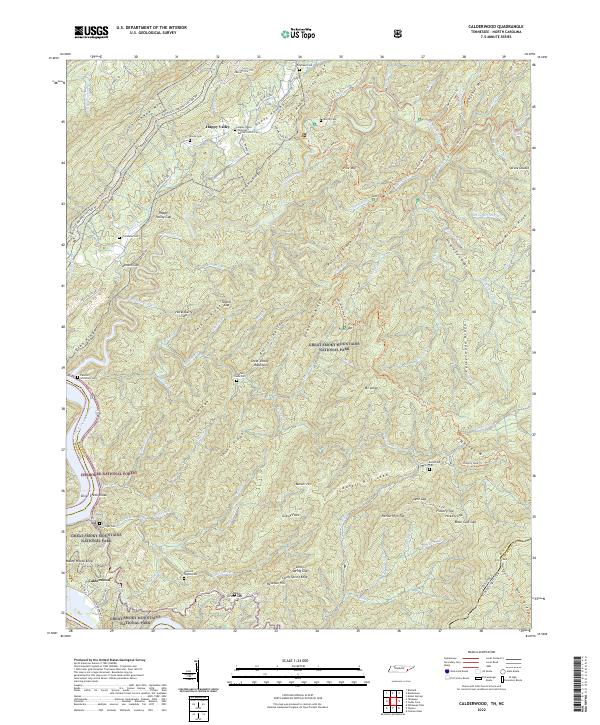
2022 Calderwood
Blount County, TN
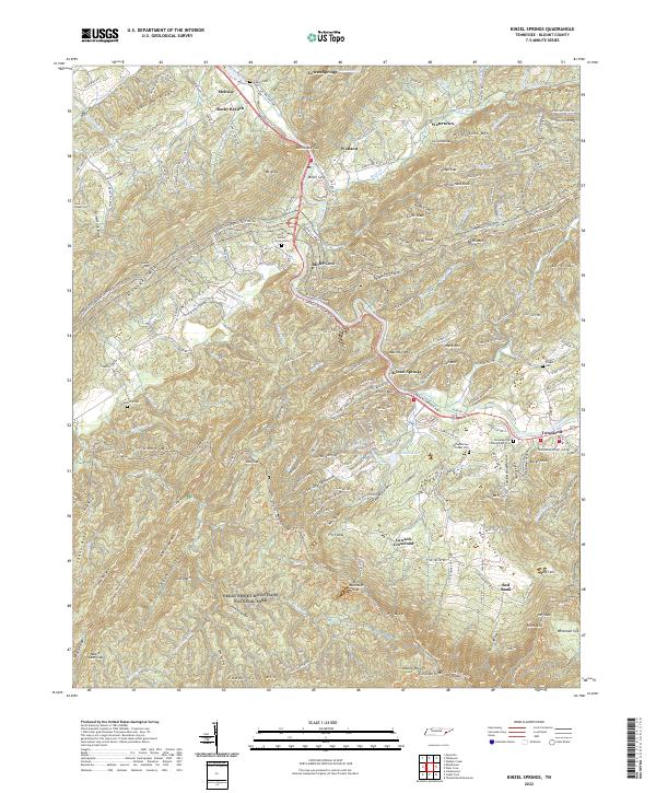
2022 Kinzel Springs
Blount County, TN
2022 Tallassee
Blount County, TN
2022 Wear Cove
Blount County, TN