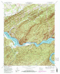
1966 Map of Tallassee
USGS Topo · Published 1985About this map
Chilhowee Dam stands as a centerpiece along the Little Tennessee River, regulating the waters between Chilhowee Lake and Tellico Lake. This 1966 survey, with later revisions, documents the landscape of the Cherokee National Forest and the Cherokee Wildlife Management Area during a period of significant hydroelectric and recreational development. The terrain is defined by the massive ridges of Chilhowee Mountain and Shingle Mountain, separated by the river valley and numerous gaps like Stony Grave Gap.
Find a feature on this map
65 named features on this map. Tap any name to fly to it.
Don’t see what you’re looking for? This feature index may not catch every label — zoom into the map to look around manually.
Map Details
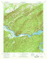
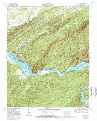
Editions of this 1966 Tallassee Map
3 editions found
Other maps of this area

1886 · Knoxville
USGS Topo · 1:125,000

1892 · Knoxville
USGS Topo · 1:125,000

1893 · Murphy
USGS Topo · 1:125,000

1894 · Knoxville
USGS Topo · 1:125,000

1895 · Loudon
USGS Topo · 1:125,000

1895 · Knoxville
USGS Topo · 1:125,000

1901 · Knoxville
USGS Topo · 1:125,000

1914 · Murphy
USGS Topo · 1:125,000

1933 · Haw Knob
USGS Topo · 1:48,000

1933 · Whiteoak Flats
USGS Topo · 1:24,000