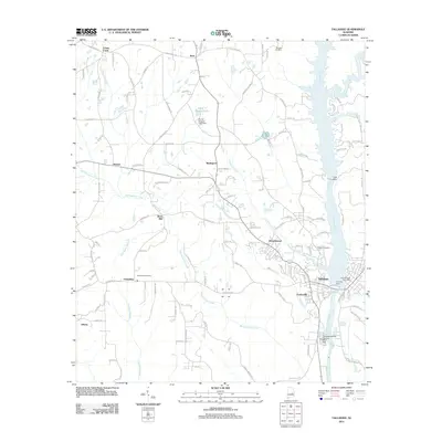
2011 Map of Tallassee
USGS Topo · Published 2011About this map
The Tallapoosa River serves as the central artery for this region, dictating the development of industrial and civil infrastructure through the early 21st century. The map highlights a concentration of hydroelectric and utility management features, including Yates Dam and Thurlow Dam, which frame the river's descent through the city of Tallassee. To the south, the Tallassee Sewage Disposal Pond Dam and associated facilities indicate the area's modern utility footprint.
Find a feature on this map
114 named features on this map. Tap any name to fly to it.
Don’t see what you’re looking for? This feature index may not catch every label — zoom into the map to look around manually.
Map Details
Editions of this 2011 Tallassee Map
This is the sole edition of this map. No revisions or reprints were ever made.
Other maps of this area

1901 · Wetumpka
USGS Topo · 1:125,000

1901 · Wetumpka
USGS Topo · 1:62,500

1903 · Wetumpka
USGS Topo · 1:125,000

1906 · Dadeville
USGS Topo · 1:125,000

1953 · Montgomery
USGS Topo · 1:250,000

1955 · Phenix City
USGS Topo · 1:250,000

1956 · Montgomery
USGS Topo · 1:250,000

1957 · Phenix City
USGS Topo · 1:250,000

1957 · Montgomery
USGS Topo · 1:250,000

1958 · Phenix City
USGS Topo · 1:250,000