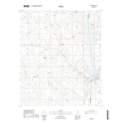
2018 Map of Tallassee
USGS Topo · Published 2018About this map
Tallassee and Carrville anchor the southeastern corner of this 2018 survey, where the Tallapoosa River forms the natural boundary between Elmore and Tallapoosa counties. This riverine landscape is defined by its drainages, including the Soughahatchee Creek to the north and the winding Wallahatchee Creek through the center. Historically significant clusters like Friendship and Kent remain connected by a network of rural routes such as Chana Creek Road and County Road 44.
Find a feature on this map
120 named features on this map. Tap any name to fly to it.
Don’t see what you’re looking for? This feature index may not catch every label — zoom into the map to look around manually.
Map Details
Editions of this 2018 Tallassee Map
This is the sole edition of this map. No revisions or reprints were ever made.
Other maps of this area

1901 · Wetumpka
USGS Topo · 1:125,000

1901 · Wetumpka
USGS Topo · 1:62,500

1903 · Wetumpka
USGS Topo · 1:125,000

1906 · Dadeville
USGS Topo · 1:125,000

1953 · Montgomery
USGS Topo · 1:250,000

1955 · Phenix City
USGS Topo · 1:250,000

1956 · Montgomery
USGS Topo · 1:250,000

1957 · Phenix City
USGS Topo · 1:250,000

1957 · Montgomery
USGS Topo · 1:250,000

1958 · Phenix City
USGS Topo · 1:250,000