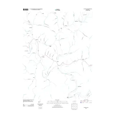
2013 Map of Tallega
USGS Topo · Published 2013About this map
The Middle Fork Kentucky River and the N Fork Kentucky River carve deep, serpentine paths through this corner of Breathitt County. Small settlements such as Tallega, Athol, and Monica are joined by the winding path of State Highway 30 and 52, which follow the topography of the many hollows and forks. The region's transport history is visible in the presence of engineered features like Tyler Tunnel and Mud Tunnel, while family and community roots are preserved at the Oakdale Cem near the eastern edge of the survey.
Find a feature on this map
109 named features on this map. Tap any name to fly to it.
Don’t see what you’re looking for? This feature index may not catch every label — zoom into the map to look around manually.
Map Details
Editions of this 2013 Tallega Map
This is the sole edition of this map. No revisions or reprints were ever made.
Other maps of this area

1889 · Salyersville
USGS Topo · 1:125,000

1891 · Manchester
USGS Topo · 1:125,000

1891 · Hazard
USGS Topo · 1:125,000

1891 · Salyersville
USGS Topo · 1:125,000

1892 · Beattyville
USGS Topo · 1:125,000

1899 · Salyersville
USGS Topo · 1:125,000

1913 · Buckhorn
USGS Topo · 1:62,500

1951 · Landsaw
USGS Topo · 1:24,000

1951 · Jackson
USGS Topo · 1:24,000

1952 · Tallega
USGS Topo · 1:24,000