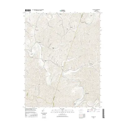
2016 Map of Tallega
USGS Topo · Published 2016About this map
The community of Tallega sits at a critical junction where the rail line passes through the landscape, marked by significant engineering features like the Tyler Tunnel and Mud Tunnel. This 2016 survey documents the complex topography of the Kentucky River's North Fork area, where numerous hollows and branches define the settlement patterns. From Canyon Falls to the river's Horseshoe Bend, the map reveals a network of rural connections like Angel Deaton Rd and Brush Creek Rd that link small settlements such as Monica, Primrose, and Athol. The boundaries between Lee, Breathitt, and Owsley counties converge here, highlighting the region's intersection of local jurisdictions and rural lifeways along the water and the rails.
Find a feature on this map
72 named features on this map. Tap any name to fly to it.
Don’t see what you’re looking for? This feature index may not catch every label — zoom into the map to look around manually.
Map Details
Editions of this 2016 Tallega Map
This is the sole edition of this map. No revisions or reprints were ever made.
Other maps of this area

1889 · Salyersville
USGS Topo · 1:125,000

1891 · Manchester
USGS Topo · 1:125,000

1891 · Hazard
USGS Topo · 1:125,000

1891 · Salyersville
USGS Topo · 1:125,000

1892 · Beattyville
USGS Topo · 1:125,000

1899 · Salyersville
USGS Topo · 1:125,000

1913 · Buckhorn
USGS Topo · 1:62,500

1951 · Landsaw
USGS Topo · 1:24,000

1951 · Jackson
USGS Topo · 1:24,000

1952 · Tallega
USGS Topo · 1:24,000