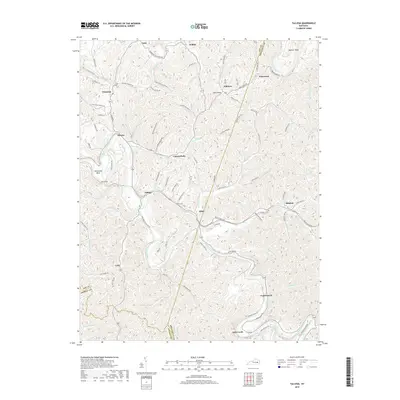
2019 Map of Tallega
USGS Topo · Published 2019About this map
Middle Fork Kentucky River and the North Fork Kentucky River converge in this dissected landscape of the Cumberland Plateau, where three counties—Lee, Breathitt, and Owsley—meet. The settlement pattern follows the narrow creek valleys and river bends, with community hubs like Tallega, Athol, and Canyon Falls serving as anchors for rural life. The presence of Tyler Tunnel and Mud Tunnel highlights the technical challenges of traversing this terrain, while roads like Mill Branch School Rd hint at the local civic infrastructure that once served these dispersed mountain hollows.
Find a feature on this map
96 named features on this map. Tap any name to fly to it.
Don’t see what you’re looking for? This feature index may not catch every label — zoom into the map to look around manually.
Map Details
Editions of this 2019 Tallega Map
This is the sole edition of this map. No revisions or reprints were ever made.
Other maps of this area

1889 · Salyersville
USGS Topo · 1:125,000

1891 · Manchester
USGS Topo · 1:125,000

1891 · Hazard
USGS Topo · 1:125,000

1891 · Salyersville
USGS Topo · 1:125,000

1892 · Beattyville
USGS Topo · 1:125,000

1899 · Salyersville
USGS Topo · 1:125,000

1913 · Buckhorn
USGS Topo · 1:62,500

1951 · Landsaw
USGS Topo · 1:24,000

1951 · Jackson
USGS Topo · 1:24,000

1952 · Tallega
USGS Topo · 1:24,000