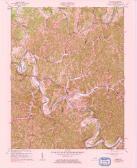
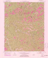
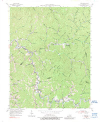
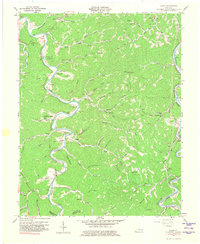
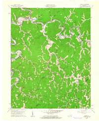
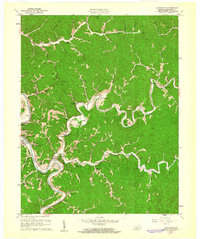
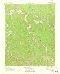
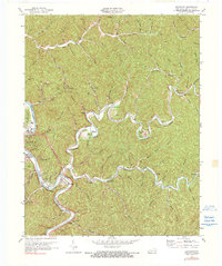
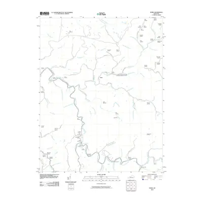
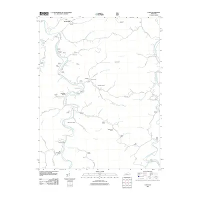
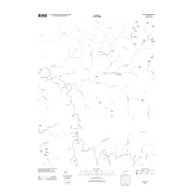
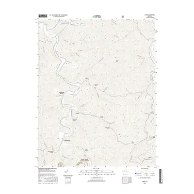
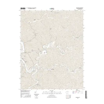
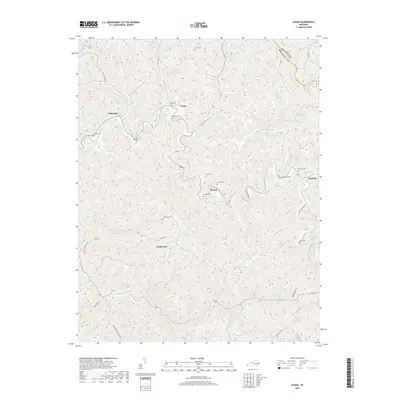
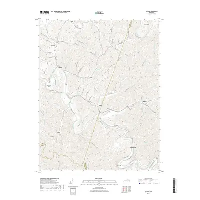
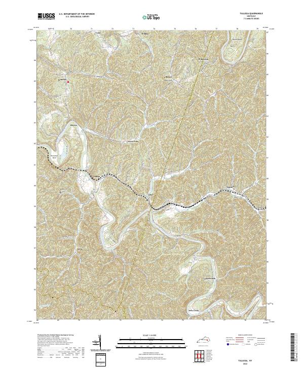
1961 Map of Tallega
USGS Topo · Published 1984About this map
The Middle Fork Kentucky River snakes through the high ridges of the Cumberland Plateau, defining a landscape where transportation and settlement are dictated by the winding water gaps. During the mid-twentieth century, the Louisville and Nashville railroad served as the primary industrial artery, piercing through the steep terrain via engineering feats like the Tyler Tunnel and Mud Tunnel. This 1961 revision shows a high concentration of small rural communities and local institutions, such as Athol, Tallega, and the Rock Luck Mission Hall, which acted as social anchors for the surrounding hollows.
Find a feature on this map
59 named features on this map. Tap any name to fly to it.
Don’t see what you’re looking for? This feature index may not catch every label — zoom into the map to look around manually.
Map Details
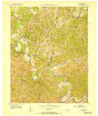
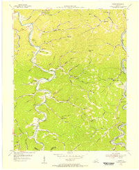
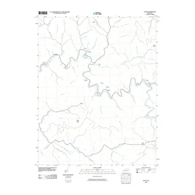
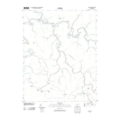
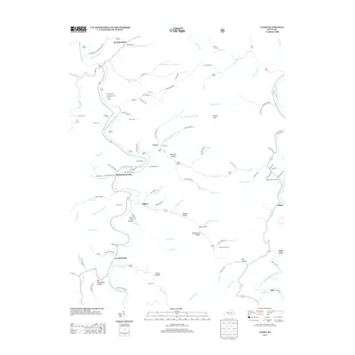
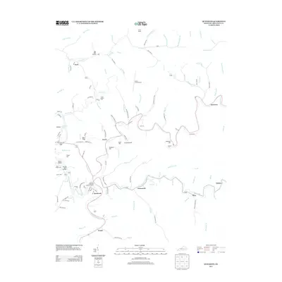
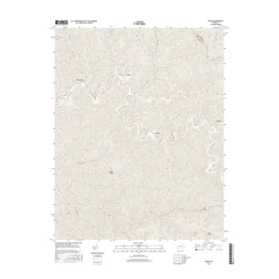
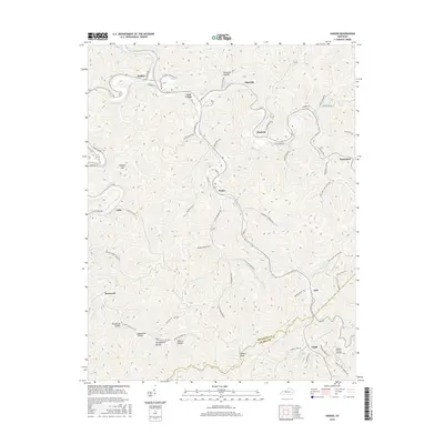
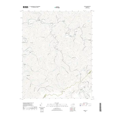
Editions of this 1961 Tallega Map
2 editions found
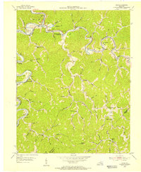
Historical Maps of Fillmore Through Time
48 maps found
1951 Guage
Breathitt County, KY
1951 Quicksand
Breathitt County, KY
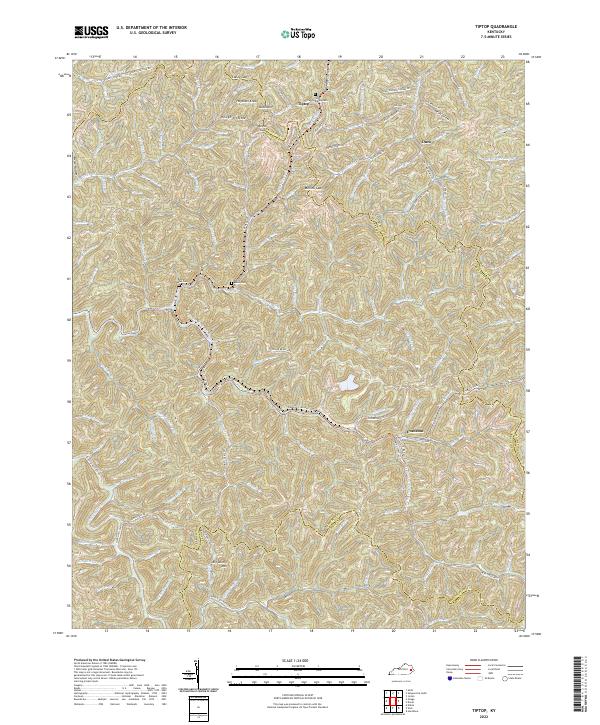
1951 Tiptop
Breathitt County, KY
1952 Tallega
Breathitt County, KY
1954 Canoe
Breathitt County, KY
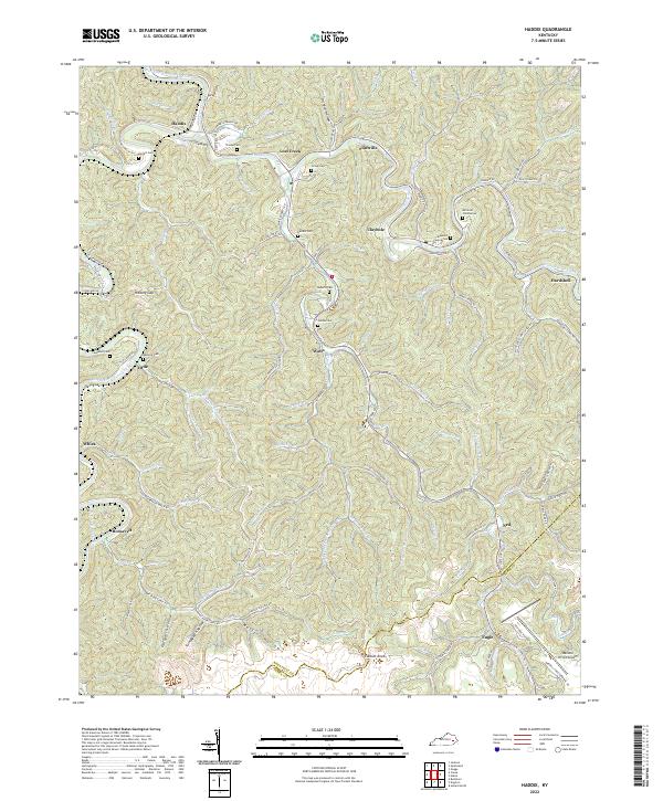
1954 Haddix
Breathitt County, KY
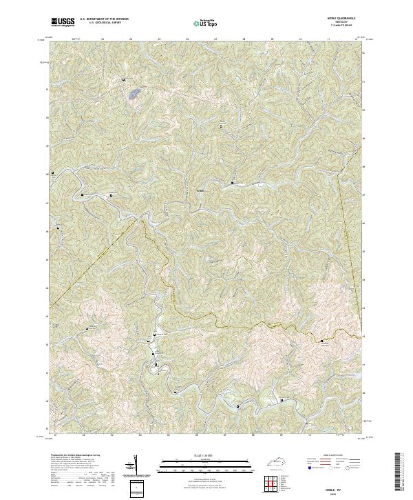
1954 Noble
Breathitt County, KY
1961 Canoe
Breathitt County, KY
1961 Haddix
Breathitt County, KY
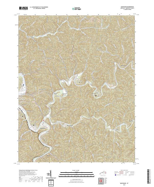
1961 Quicksand
Breathitt County, KY
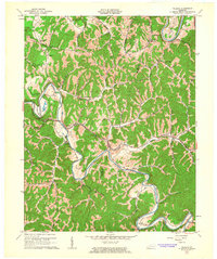
1961 Tallega
Breathitt County, KY
1972 Haddix
Breathitt County, KY
1972 Quicksand
Breathitt County, KY
2010 Guage
Breathitt County, KY
2010 Haddix
Breathitt County, KY
2010 Noble
Breathitt County, KY
2010 Quicksand
Breathitt County, KY
2010 Tallega
Breathitt County, KY
2010 Tiptop
Breathitt County, KY
2011 Canoe
Breathitt County, KY
2013 Canoe
Breathitt County, KY
2013 Guage
Breathitt County, KY
2013 Haddix
Breathitt County, KY
2013 Noble
Breathitt County, KY
2013 Quicksand
Breathitt County, KY
2013 Tallega
Breathitt County, KY
2013 Tiptop
Breathitt County, KY
2016 Canoe
Breathitt County, KY
2016 Guage
Breathitt County, KY
2016 Haddix
Breathitt County, KY
2016 Noble
Breathitt County, KY
2016 Quicksand
Breathitt County, KY
2016 Tallega
Breathitt County, KY
2016 Tiptop
Breathitt County, KY
2019 Canoe
Breathitt County, KY
2019 Guage
Breathitt County, KY
2019 Haddix
Breathitt County, KY
2019 Noble
Breathitt County, KY
2019 Quicksand
Breathitt County, KY
2019 Tallega
Breathitt County, KY
2019 Tiptop
Breathitt County, KY
2022 Canoe
Breathitt County, KY
2022 Guage
Breathitt County, KY
2022 Haddix
Breathitt County, KY
2022 Noble
Breathitt County, KY
2022 Quicksand
Breathitt County, KY
2022 Tallega
Breathitt County, KY
2022 Tiptop
Breathitt County, KY