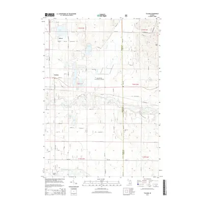
2014 Map of Tallman
USGS Topo · Published 2014About this map
Tallman and Walhalla anchor this portion of the Manistee National Forest, where the landscape is defined by the winding course of the Pere Marquette River and its numerous glacial lakes. The settlement at Tallman is marked by the Tallman Cemetery and its proximity to the lake of the same name, while the surrounding terrain rises into the Ward Hills to the northeast. To the south, the Big South Branch Pere Marquette River flows under the Campbell Bridge, a significant crossing point for local transit.
Find a feature on this map
52 named features on this map. Tap any name to fly to it.
Don’t see what you’re looking for? This feature index may not catch every label — zoom into the map to look around manually.
Map Details
Editions of this 2014 Tallman Map
This is the sole edition of this map. No revisions or reprints were ever made.
Other maps of this area

1931 · Custer NW
USGS Topo · 1:31,680

1931 · Baldwin NW
USGS Topo · 1:31,680

1931 · Custer SW
USGS Topo · 1:31,680

1931 · Custer NE
USGS Topo · 1:31,680

1931 · Freesoil SW
USGS Topo · 1:31,680

1931 · Custer SE
USGS Topo · 1:31,680

1932 · Freesoil SE
USGS Topo · 1:31,680

1933 · Peacock SW
USGS Topo · 1:31,680

1954 · Traverse City
USGS Topo · 1:250,000

1954 · Milwaukee
USGS Topo · 1:250,000