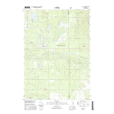
2017 Map of Tallman
USGS Topo · Published 2017About this map
Tallman and Walhalla anchor this section of Mason County, where the landscape is defined by the dense woodlands of the Manistee National Forest. The geography is heavily marked by glacial features, including the Ward Hills and a high concentration of kettle lakes such as Tallman Lake, Gooseneck Lake, and Emerson Lake. The Pere Marquette River meanders through the central region, a critical waterway for local recreation and historical transport. For genealogists, the map identifies local burial sites at Tallman Cem and McPherson Cem. Notable infrastructure and transit routes include Campbell Bridge and the N Country National Scenic Trail, illustrating how the area facilitates both modern outdoor tourism and local connectivity across the varied terrain of the Weldon Cr drainage.
Find a feature on this map
53 named features on this map. Tap any name to fly to it.
Don’t see what you’re looking for? This feature index may not catch every label — zoom into the map to look around manually.
Map Details
Editions of this 2017 Tallman Map
This is the sole edition of this map. No revisions or reprints were ever made.
Other maps of this area

1931 · Custer NW
USGS Topo · 1:31,680

1931 · Baldwin NW
USGS Topo · 1:31,680

1931 · Custer SW
USGS Topo · 1:31,680

1931 · Custer NE
USGS Topo · 1:31,680

1931 · Freesoil SW
USGS Topo · 1:31,680

1931 · Custer SE
USGS Topo · 1:31,680

1932 · Freesoil SE
USGS Topo · 1:31,680

1933 · Peacock SW
USGS Topo · 1:31,680

1954 · Traverse City
USGS Topo · 1:250,000

1954 · Milwaukee
USGS Topo · 1:250,000