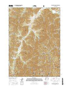
2017 Map of Tallowbox Mountain
USGS Topo · Published 2017About this map
Tallowbox Mountain stands as a central topographic anchor in this portion of the Siskiyou Mountains, where the borders of Josephine and Jackson counties meet. The landscape is defined by a dense network of steep drainages, including the uniquely named Ninethousand Seventeen Gulch and Nine Dollar Gulch, which feed into larger systems like Star Gulch and the Applegate River. Small settlements such as Ruch and Williams appear on the periphery of the heavily forested interior, much of which is protected within the Rogue River National Forest. The map captures a complex system of resource and fire access roads, such as Hinkley Gulch Rd and Star Gulch Rd, that navigate the ridgelines between Palmer Peak and Jim Mee Peak. Notable water management features like Kinworthy Reservoir and Gibson Reservoir indicate the vital role of water storage in this high-relief terrain.
Find a feature on this map
67 named features on this map. Tap any name to fly to it.
Don’t see what you’re looking for? This feature index may not catch every label — zoom into the map to look around manually.
Map Details
Editions of this 2017 Tallowbox Mountain Map
This is the sole edition of this map. No revisions or reprints were ever made.
Other maps of this area
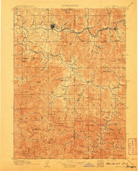
1908 · Grants Pass
USGS Topo · 1:125,000
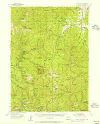
1954 · Oregon Caves
USGS Topo · 1:62,500
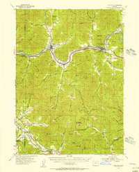
1954 · Gold Hill
USGS Topo · 1:62,500
1954 · Grants Pass
USGS Topo · 1:62,500
1954 · Ruch
USGS Topo · 1:62,500

1955 · Medford
USGS Topo · 1:250,000
1957 · Medford
USGS Topo · 1:250,000
1958 · Medford
USGS Topo · 1:250,000
1983 · Mt. Isabelle
USGS Topo · 1:24,000
1983 · Squaw Lakes
USGS Topo · 1:24,000