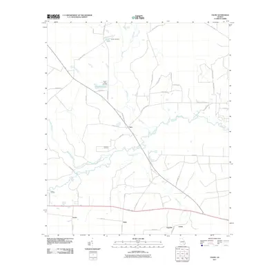
2011 Map of Talmo
USGS Topo · Published 2011About this map
The Satilla River and its southern tributaries define this landscape south of Waycross, Georgia, where small communities and family-named roads mark a largely agricultural and woodland region. Settlements like Talmo, Sappville, and Hasty serve as local hubs along a network of routes such as Telmore Church Rd and Old Nicholls Hwy. The drainage of the Seventeen Mile River converges with the Satilla in the west, while smaller man-made reservoirs like King O Lee Lake and Gerbin Lake populate the northern reaches. For local historians and genealogists, the map preserves the locations of the Chauncey Cemetery and Walden Cemetery, which are central to the heritage of this rural corner of Ware County. The road network, including family landmarks like Wattell Davis Rd and Robert Gibbs Ln, illustrates the long-standing land divisions and ancestral properties of the area.
Find a feature on this map
49 named features on this map. Tap any name to fly to it.
Don’t see what you’re looking for? This feature index may not catch every label — zoom into the map to look around manually.
Map Details
Editions of this 2011 Talmo Map
This is the sole edition of this map. No revisions or reprints were ever made.
Other maps of this area

1953 · Waycross
USGS Topo · 1:250,000

1958 · Waycross
USGS Topo · 1:250,000

1967 · Waycross West
USGS Topo · 1:24,000

1967 · Pine Valley
USGS Topo · 1:24,000

1968 · Cogdell
USGS Topo · 1:24,000

1971 · Dixie Union
USGS Topo · 1:24,000

1971 · Wilsonville
USGS Topo · 1:24,000

1971 · Beach
USGS Topo · 1:24,000

1971 · Axson
USGS Topo · 1:24,000

1971 · Talmo
USGS Topo · 1:24,000