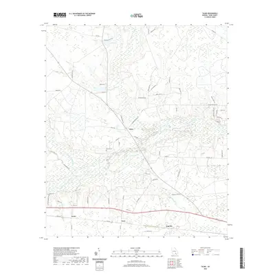
2020 Map of Talmo
USGS Topo · Published 2020About this map
Talmo and the surrounding rural landscape of Ware County are defined by a network of waterways and early 21st-century rural roads. The area is intersected by the Satilla River and the Seventeen Mile River, creating a complex system of creeks including Fullwood Cr and Hog Cr. Several small settlements like Fairfax, Hasty, and Sappville anchor the southern portion of the map along the highway corridor. A distinctive terrain feature named Big Bens Den sits near the center of the sheet, surrounded by a dense web of family-named roads such as Norman Gillis Rd, Raymond Gillis Rd, and Watell Davis Rd. These road names and the presence of sites like Chauncey Cem and Walden Cem provide valuable clues for genealogical research and documenting the local landownership patterns in this part of Georgia.
Find a feature on this map
60 named features on this map. Tap any name to fly to it.
Don’t see what you’re looking for? This feature index may not catch every label — zoom into the map to look around manually.
Map Details
Editions of this 2020 Talmo Map
This is the sole edition of this map. No revisions or reprints were ever made.
Other maps of this area

1953 · Waycross
USGS Topo · 1:250,000

1958 · Waycross
USGS Topo · 1:250,000

1967 · Waycross West
USGS Topo · 1:24,000

1967 · Pine Valley
USGS Topo · 1:24,000

1968 · Cogdell
USGS Topo · 1:24,000

1971 · Dixie Union
USGS Topo · 1:24,000

1971 · Wilsonville
USGS Topo · 1:24,000

1971 · Beach
USGS Topo · 1:24,000

1971 · Axson
USGS Topo · 1:24,000

1971 · Talmo
USGS Topo · 1:24,000