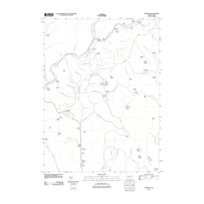
2010 Map of Tamarack
USGS Topo · Published 2010About this map
Kettle Creek winds through the high plateaus of Clinton County, defining the drainage patterns for numerous family-named and descriptive hollows. The settlement at Tamarack sits at a crossroads of high-elevation routes like Stewart Hill Rd and Red Hill Rd, while the village of Cross Fork occupies the confluence of major waterways to the north. This 2010 survey records a landscape shaped by both early industry and modern recreation, from the legacy of Coal Hill and Browns Mill Hollow to the modern Quiet Oaks Campground Ln. Genealogists may find particular interest in the Laurel Hill Cemetery situated near the creek, and the various named landmarks like Dykes Peak and Turtle Point that have served as local reference points for generations of residents and hunters.
Find a feature on this map
93 named features on this map. Tap any name to fly to it.
Don’t see what you’re looking for? This feature index may not catch every label — zoom into the map to look around manually.
Map Details
Editions of this 2010 Tamarack Map
This is the sole edition of this map. No revisions or reprints were ever made.
Other maps of this area

1943 · Hyner
USGS Topo · 1:62,500

1946 · Young Womans Creek
USGS Topo · 1:24,000

1946 · Renovo East
USGS Topo · 1:62,500

1946 · Renovo West
USGS Topo · 1:62,500

1946 · Hammersley Fork
USGS Topo · 1:24,000

1946 · Keating
USGS Topo · 1:24,000

1946 · Tamarack
USGS Topo · 1:24,000

1946 · Renovo East
USGS Topo · 1:24,000

1946 · Renovo West
USGS Topo · 1:24,000

1947 · Conrad
USGS Topo · 1:62,500
Featured Places
- Leidy Township, PA
- Wharton Township, PA
- Stewardson Township, PA
- Chapman Township, PA
- Cross Fork, Stewardson Township