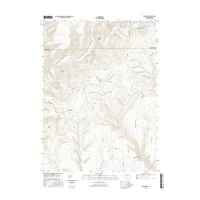
2016 Map of Tamarack
USGS Topo · Published 2016About this map
Kettle Creek winds through this deeply dissected section of the Pennsylvania Wilds, marking the border between Potter and Clinton counties. The village of Cross Fork serves as a northern anchor near the confluence of several mountain streams, while the settlement of Tamarack sits to the south. Between them lies the notable Tamarack Swamp, a high-elevation wetland that contrasts with the surrounding steep terrain.
Find a feature on this map
108 named features on this map. Tap any name to fly to it.
Don’t see what you’re looking for? This feature index may not catch every label — zoom into the map to look around manually.
Map Details
Editions of this 2016 Tamarack Map
This is the sole edition of this map. No revisions or reprints were ever made.
Other maps of this area

1943 · Hyner
USGS Topo · 1:62,500

1946 · Young Womans Creek
USGS Topo · 1:24,000

1946 · Renovo East
USGS Topo · 1:62,500

1946 · Renovo West
USGS Topo · 1:62,500

1946 · Hammersley Fork
USGS Topo · 1:24,000

1946 · Keating
USGS Topo · 1:24,000

1946 · Tamarack
USGS Topo · 1:24,000

1946 · Renovo East
USGS Topo · 1:24,000

1946 · Renovo West
USGS Topo · 1:24,000

1947 · Conrad
USGS Topo · 1:62,500
Featured Places
- Leidy Township, PA
- Wharton Township, PA
- Stewardson Township, PA
- Chapman Township, PA
- Cross Fork, Stewardson Township