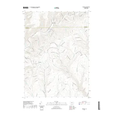
2019 Map of Tamarack
USGS Topo · Published 2019About this map
Kettle Creek snakes through the deep valleys of the Pennsylvania Wilds near the border of Potter and Clinton counties, providing a central drainage for a landscape defined by its many hollows. The settlement of Gross Fork sits at the northern edge of the quadrangle, while Tamarack serves as a small upland hub further south. This high-plateau environment is uniquely marked by the Tamarack Swamp, a notable wetland feature perched between ridges like Big Ridge and Keeney Mtn.
Find a feature on this map
114 named features on this map. Tap any name to fly to it.
Don’t see what you’re looking for? This feature index may not catch every label — zoom into the map to look around manually.
Map Details
Editions of this 2019 Tamarack Map
This is the sole edition of this map. No revisions or reprints were ever made.
Other maps of this area

1943 · Hyner
USGS Topo · 1:62,500

1946 · Young Womans Creek
USGS Topo · 1:24,000

1946 · Renovo East
USGS Topo · 1:62,500

1946 · Renovo West
USGS Topo · 1:62,500

1946 · Hammersley Fork
USGS Topo · 1:24,000

1946 · Keating
USGS Topo · 1:24,000

1946 · Tamarack
USGS Topo · 1:24,000

1946 · Renovo East
USGS Topo · 1:24,000

1946 · Renovo West
USGS Topo · 1:24,000

1947 · Conrad
USGS Topo · 1:62,500
Featured Places
- Leidy Township, PA
- Wharton Township, PA
- Stewardson Township, PA
- Chapman Township, PA
- Cross Fork, Stewardson Township