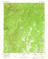
1959 Map of Tamassee
USGS Topo · Published 1965About this map
Sumter National Forest and the Chattahoochee National Forest meet along the wild corridor of the Chattooga River, defining the border between South Carolina and Georgia. This 1959 field-checked landscape is characterized by a network of ridges and coves, where small mountain communities like Tamassee and Keith Quarter are connected by the winding Tamassee Road. Cultural landmarks are scattered throughout the timbered terrain, including the Tamassee DAR Sch and the Village Creek Mission. Genealogists will find numerous family-named burial grounds, such as the Wolf Pit Cem and Winchester Cem, which sit near the river's Big Bend Falls. The area also contains specialized sites like the Walhalla Fish Hatchery and the General Pickens Monument, reflecting the region's managed wilderness and historical roots.
Find a feature on this map
97 named features on this map. Tap any name to fly to it.
Don’t see what you’re looking for? This feature index may not catch every label — zoom into the map to look around manually.
Map Details
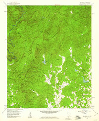
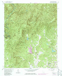
Editions of this 1959 Tamassee Map
3 editions found
Other maps of this area

1886 · Walhalla
USGS Topo · 1:125,000

1888 · Pickens
USGS Topo · 1:125,000

1891 · Cowee
USGS Topo · 1:125,000

1892 · Walhalla
USGS Topo · 1:125,000

1894 · Pickens
USGS Topo · 1:125,000

1896 · Walhalla
USGS Topo · 1:125,000

1897 · Cowee
USGS Topo · 1:125,000

1905 · Pisgah
USGS Topo · 1:125,000

1906 · Pisgah
USGS Topo · 1:125,000

1907 · Cowee
USGS Topo · 1:125,000