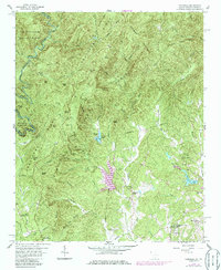
1959 Map of Tamassee
USGS Topo · Published 1986About this map
Tamassee and the surrounding borderlands of the Blue Ridge Mountains are documented here in a landscape defined by the Sumter National Forest and the Chattooga National Forest. The map captures a moment when rural life centered on institutions like the Tamassee DAR Sch and the Village Creek Mission. At the southern edge of the survey, the General Pickens Monument marks a point of local historical significance near the intersection of various creeks and branches.
Find a feature on this map
74 named features on this map. Tap any name to fly to it.
Don’t see what you’re looking for? This feature index may not catch every label — zoom into the map to look around manually.
Map Details
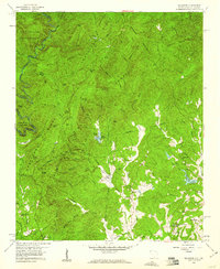
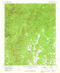
Editions of this 1959 Tamassee Map
3 editions found
Other maps of this area

1886 · Walhalla
USGS Topo · 1:125,000

1888 · Pickens
USGS Topo · 1:125,000

1891 · Cowee
USGS Topo · 1:125,000

1892 · Walhalla
USGS Topo · 1:125,000

1894 · Pickens
USGS Topo · 1:125,000

1896 · Walhalla
USGS Topo · 1:125,000

1897 · Cowee
USGS Topo · 1:125,000

1905 · Pisgah
USGS Topo · 1:125,000

1906 · Pisgah
USGS Topo · 1:125,000

1907 · Cowee
USGS Topo · 1:125,000