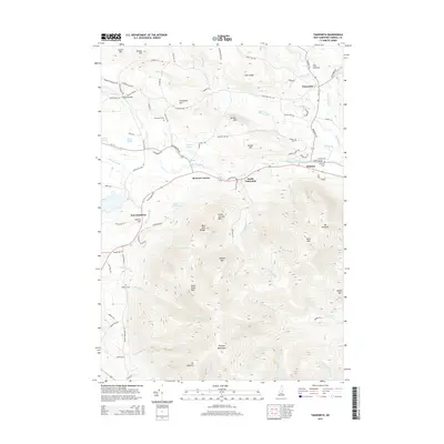
2015 Map of Tamworth
USGS Topo · Published 2015About this map
The Bearcamp River valley serves as the central corridor for this 2015 study of Carroll County, where the village of Tamworth sits near the confluence of Swift River and several mountain brooks. To the south, the northern reaches of the Ossipee Mountains dominate the terrain, featuring peaks like Mt Roberts and Black Snout Mtn. This intersection of high relief and river lowlands defined the settlement patterns of the region, concentrating development in hamlets such as Whittier, South Tamworth, and Bennett Corners.
Find a feature on this map
99 named features on this map. Tap any name to fly to it.
Don’t see what you’re looking for? This feature index may not catch every label — zoom into the map to look around manually.
Map Details
Editions of this 2015 Tamworth Map
This is the sole edition of this map. No revisions or reprints were ever made.
Other maps of this area

1909 · Winnepesaukee
USGS Topo · 1:62,500

1928 · Wolfeboro
USGS Topo · 1:62,500

1930 · Ossipee Lake
USGS Topo · 1:62,500

1931 · Mt. Chocorua
USGS Topo · 1:62,500

1949 · Portland
USGS Topo · 1:250,000

1956 · Winnipesaukee
USGS Topo · 1:62,500

1956 · Portland
USGS Topo · 1:250,000

1958 · Ossipee Lake
USGS Topo · 1:62,500

1958 · Wolfeboro
USGS Topo · 1:62,500

1958 · Mt. Chocorua
USGS Topo · 1:62,500