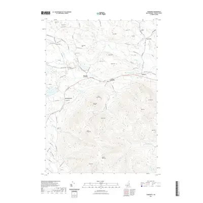
2021 Map of Tamworth
USGS Topo · Published 2021About this map
Tamworth and its surrounding villages sit at a geographical intersection where the southern slopes of the Ossipee Mountains meet the river valleys of central Carroll County. The Bearcamp River and Swift River serve as primary drainage, dictating the placement of historic settlements like Whittier and South Tamworth. This 2021 update shows the persistence of small-scale agriculture and mountain residences along the winding roads of the Lakes Region.
Find a feature on this map
99 named features on this map. Tap any name to fly to it.
Don’t see what you’re looking for? This feature index may not catch every label — zoom into the map to look around manually.
Map Details
Editions of this 2021 Tamworth Map
This is the sole edition of this map. No revisions or reprints were ever made.
Other maps of this area

1909 · Winnepesaukee
USGS Topo · 1:62,500

1928 · Wolfeboro
USGS Topo · 1:62,500

1930 · Ossipee Lake
USGS Topo · 1:62,500

1931 · Mt. Chocorua
USGS Topo · 1:62,500

1949 · Portland
USGS Topo · 1:250,000

1956 · Winnipesaukee
USGS Topo · 1:62,500

1956 · Portland
USGS Topo · 1:250,000

1958 · Ossipee Lake
USGS Topo · 1:62,500

1958 · Wolfeboro
USGS Topo · 1:62,500

1958 · Mt. Chocorua
USGS Topo · 1:62,500