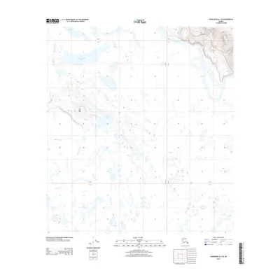
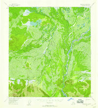
2013 Map of Tanacross A-3 SE
USGS Topo · Published 2013About this map
Big John Hill rises above a labyrinth of wetlands and water bodies in this interior Alaskan landscape. The northern reaches are defined by the wide, braided course of the Tanana River, while the Alaska Hwy cuts through the northeast corner, providing the primary overland corridor through this subarctic wilderness. The area is dominated by a complex hydrographic network, including Nuziamundcho Lake, Big John Lake, and Tsilchin Lake, all interconnected by the wandering path of the Kalutna River. This 2013 survey illustrates the characteristic terrain of the Tanana Valley, where low-lying basins are filled with innumerable small ponds and larger lakes, reflecting the drainage patterns of the unorganized borough.
Find a feature on this map
7 named features on this map. Tap any name to fly to it.
Don’t see what you’re looking for? This feature index may not catch every label — zoom into the map to look around manually.
Map Details
Editions of this 2013 Tanacross A-3 SE Map
This is the sole edition of this map. No revisions or reprints were ever made.
Other maps of this area
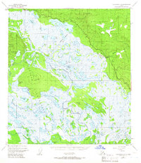
1948 · Tanacross A-3
USGS Topo · 1:63,360

1949 · Tanacross
USGS Topo · 1:250,000

1950 · Tanacross
USGS Topo · 1:250,000
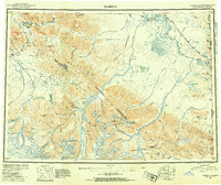
1950 · Nabesna
USGS Topo · 1:250,000
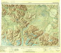
1951 · Nabesna
USGS Topo · 1:250,000
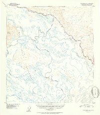
1952 · Tanacross A-3
USGS Topo · 1:63,360
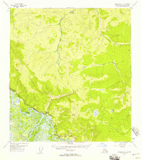
1954 · Tanacross A-2
USGS Topo · 1:63,360
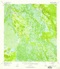
1954 · Nabesna D-2
USGS Topo · 1:63,360
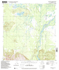
1954 · Nabesna D-3
USGS Topo · 1:63,360
1955 · Nabesna D-3
USGS Topo · 1:63,360