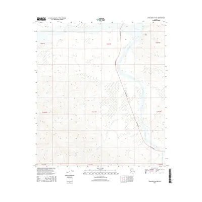
2016 Map of Tanacross B-6 NW
USGS Topo · Published 2016About this map
The Tanana River dominates this interior landscape, winding northward through the valley as it passes the prominent Tower Bluffs. This 2016 survey illustrates the vital transportation artery of the Alaska Highway as it skirts the eastern banks of the river, connecting remote wilderness with the broader region. The confluence of several drainage systems is captured here, including the broad Robertson River to the north and the meandering path of Sheep Creek to the south. In the southeastern corner, the curiously named Cathedral Rapids Cr Number 2 adds a specific landmark for those navigating the creek systems feeding into the Tanana. The map serves as a detailed record of the township and range divisions, such as t20n r8e, providing a precise grid of the land before further development or environmental shifts change the river's course.
Find a feature on this map
16 named features on this map. Tap any name to fly to it.
Don’t see what you’re looking for? This feature index may not catch every label — zoom into the map to look around manually.
Map Details
Editions of this 2016 Tanacross B-6 NW Map
This is the sole edition of this map. No revisions or reprints were ever made.
Other maps of this area
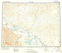
1949 · Tanacross
USGS Topo · 1:250,000
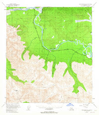
1949 · Tanacross B-6
USGS Topo · 1:63,360
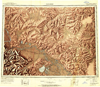
1950 · Tanacross
USGS Topo · 1:250,000
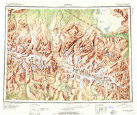
1950 · Mount Hayes
USGS Topo · 1:250,000
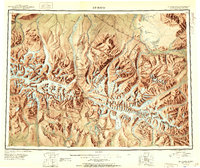
1951 · Mount Hayes
USGS Topo · 1:250,000
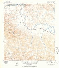
1951 · Tanacross B-6
USGS Topo · 1:63,360
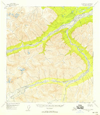
1954 · Mount Hayes B-1
USGS Topo · 1:63,360
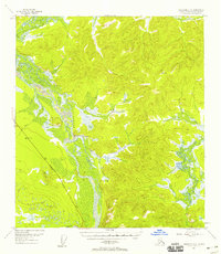
1954 · Tanacross C-6
USGS Topo · 1:63,360
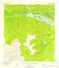
1954 · Mount Hayes C-1
USGS Topo · 1:63,360
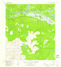
1955 · Mount Hayes C-1
USGS Topo · 1:63,360