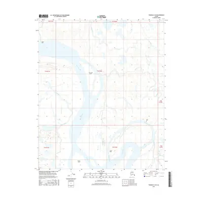
2016 Map of Tanana A-4 SE
USGS Topo · Published 2016About this map
The Tanana River dominates this interior Alaska landscape, creating a complex network of braided channels and riparian islands. Significant landforms within the river's path include Fish Creek Island and Murray Island, while the current carves a sharp turn at Harper Bend. The surrounding wetlands are defined by numerous sloughs, such as Squaw Crossing Slough, Green Slough, and Shortcut Slough, which illustrate the shifting nature of the river's floodplain over time. Cultural presence in this remote terrain is marked by a Native Cem located near the confluence of the river and Shortcut Slough. High points and navigation markers like Squaw Point provide orientation along the waterways, which serve as the primary features of the region alongside tributaries like Patterson Creek and Fish Creek.
Find a feature on this map
22 named features on this map. Tap any name to fly to it.
Don’t see what you’re looking for? This feature index may not catch every label — zoom into the map to look around manually.
Map Details
Editions of this 2016 Tanana A-4 SE Map
This is the sole edition of this map. No revisions or reprints were ever made.
Other maps of this area
1948 · Kantishna River
USGS Topo · 1:250,000
1951 · Kantishna River
USGS Topo · 1:250,000
1951 · Tanana
USGS Topo · 1:250,000
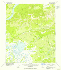
1952 · Tanana A-3
USGS Topo · 1:63,360
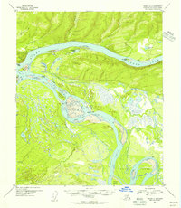
1952 · Tanana A-4
USGS Topo · 1:63,360
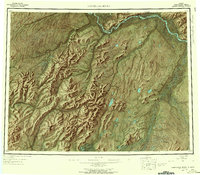
1952 · Kantishna River
USGS Topo · 1:250,000
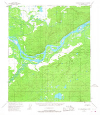
1952 · Kantishna River D-3
USGS Topo · 1:63,360
1953 · Tanana A-3
USGS Topo · 1:63,360
1953 · Kantishna River D-4
USGS Topo · 1:63,360
1954 · Kantishna River D-3
USGS Topo · 1:63,360