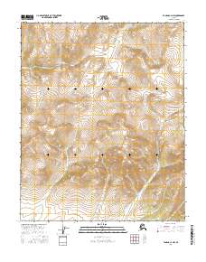
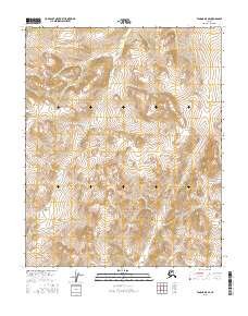
2016 Map of Tanana C-4 NW
USGS Topo · Published 2016About this map
Ray Mountains dominate the landscape of this Interior Alaska quadrangle, showcasing the high-elevation terrain north of the Yukon River. The topography is defined by the steep drainage basins of Banddana Cr and Crooked Cr, which cut through the uplifted peaks of the northern Tanana region. This 2016 survey illustrates a wilderness area largely untouched by permanent settlement or road infrastructure, with the landscape segmented by the Public Land Survey System grids of T11N, T10N, and T9N. The map reveals the intricate natural water network of the Ray River watershed, where high ridges separate the creek systems that eventually feed into the Yukon drainage to the south.
Find a feature on this map
9 named features on this map. Tap any name to fly to it.
Don’t see what you’re looking for? This feature index may not catch every label — zoom into the map to look around manually.
Map Details
Editions of this 2016 Tanana C-4 NW Map
This is the sole edition of this map. No revisions or reprints were ever made.
Other maps of this area

1951 · Tanana
USGS Topo · 1:250,000

1956 · Tanana D-4
USGS Topo · 1:63,360

1956 · Tanana C-5
USGS Topo · 1:63,360
1956 · Tanana D-5
USGS Topo · 1:63,360

1956 · Tanana C-4
USGS Topo · 1:63,360

1956 · Tanana
USGS Topo · 1:250,000

1960 · Tanana
USGS Topo · 1:250,000
2016 · Tanana D-4 SE
USGS Topo · 1:25,000
2016 · Tanana C-5 NE
USGS Topo · 1:25,000
2016 · Tanana D-5 SE
USGS Topo · 1:25,000