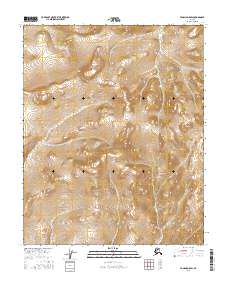
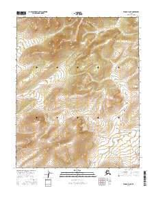
2016 Map of Tanana D-5 SW
USGS Topo · Published 2016About this map
Ray Mountains dominate the eastern reaches of this interior Alaskan landscape, which was meticulously surveyed by the U.S. Geological Survey in the mid-2010s. The terrain is characterized by high-elevation drainage systems, most notably the headwaters and winding course of Nethkahati Cr as it flows through the western valleys. This topographic study captures the uninhabited wilderness across the boundaries of t12n r24w, t12n r23w, t11n r24w, and t11n r23w. The map provides a precise record of the natural contouring and hydrologic patterns of the region before any significant modern industrial or infrastructure developments reached this remote section of the Yukon-Koyukuk.
Find a feature on this map
6 named features on this map. Tap any name to fly to it.
Don’t see what you’re looking for? This feature index may not catch every label — zoom into the map to look around manually.
Map Details
Editions of this 2016 Tanana D-5 SW Map
This is the sole edition of this map. No revisions or reprints were ever made.
Other maps of this area

1951 · Tanana
USGS Topo · 1:250,000

1956 · Tanana C-6
USGS Topo · 1:63,360

1956 · Tanana D-6
USGS Topo · 1:63,360

1956 · Tanana C-5
USGS Topo · 1:63,360
1956 · Tanana D-5
USGS Topo · 1:63,360

1956 · Tanana
USGS Topo · 1:250,000

1960 · Tanana
USGS Topo · 1:250,000
2016 · Tanana D-5 NW
USGS Topo · 1:25,000
2016 · Tanana D-5 NE
USGS Topo · 1:25,000
2016 · Tanana D-6 NE
USGS Topo · 1:25,000