
1956 Map of Tanana C-6
USGS Topo · Published 1960About this map
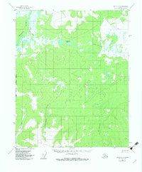
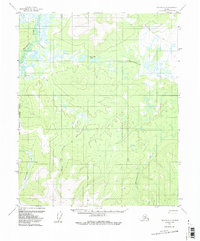
The Melozitna River winds through this interior Alaska wilderness, as documented in field notes and aerial photography from the 1950s. This interior landscape is defined by its extensive drainage networks, including the meandering Klatakhna Creek and Dagislakhna Creek, which flow through heavily swampy lowlands. These marshy areas, interpreted by the Geological Survey as the wettest regions of low relief, contrast with the significant elevation of Nuklauket Pass.
Find a feature on this map
8 named features on this map. Tap any name to fly to it.
Don’t see what you’re looking for? This feature index may not catch every label — zoom into the map to look around manually.
Map Details
Editions of this 1956 Tanana C-6 Map
3 editions found
Other maps of this area

1951 · Melozitna
USGS Topo · 1:250,000

1951 · Tanana
USGS Topo · 1:250,000

1952 · Melozitna D-1
USGS Topo · 1:63,360

1956 · Melozitna C-1
USGS Topo · 1:63,360

1956 · Melozitna B-1
USGS Topo · 1:63,360

1956 · Tanana B-5
USGS Topo · 1:63,360

1956 · Tanana B-6
USGS Topo · 1:63,360

1956 · Tanana D-6
USGS Topo · 1:63,360

1956 · Tanana C-5
USGS Topo · 1:63,360
1956 · Tanana D-5
USGS Topo · 1:63,360