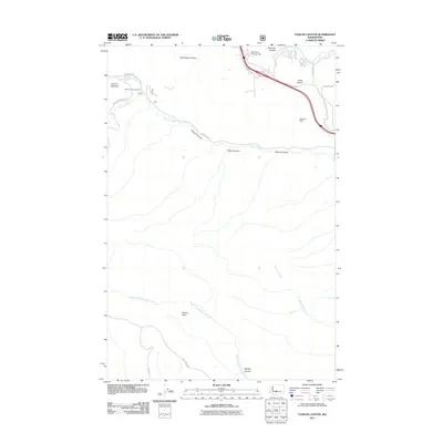
2011 Map of Taneum Canyon
USGS Topo · Published 2011About this map
Taneum Canyon defines the central geography of this Kittitas County landscape, where the waters of Taneum Creek carve through the terrain toward the Yakima River valley. The map reveals a transition from the lower elevations of Thorp Prairie in the northeast to the more complex drainages of the western reaches. Small-scale water management is evident through features like the Childress-Winegar Dam and Knudson Dam, which support local agricultural and land use needs. In the south, the North Fork Manastash Creek flows near Whisky Flats and Whisky Canyon, while Taneum Meadow and the Taneum Campground mark established recreational and pastoral points. The road network, including W Taneum Rd and Elk Heights Rd, follows the natural contours of the canyons and ridgelines, illustrating the ongoing relationship between the county's infrastructure and its varied topography.
Find a feature on this map
25 named features on this map. Tap any name to fly to it.
Don’t see what you’re looking for? This feature index may not catch every label — zoom into the map to look around manually.
Map Details
Editions of this 2011 Taneum Canyon Map
This is the sole edition of this map. No revisions or reprints were ever made.
Other maps of this area
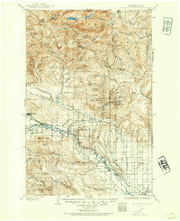
1897 · Mount Stuart
USGS Topo · 1:125,000
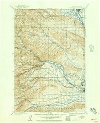
1899 · Ellensburg
USGS Topo · 1:125,000
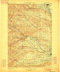
1901 · Ellensburg
USGS Topo · 1:125,000
1902 · Mount Stuart
USGS Topo · 1:125,000

1950 · Yakima
USGS Topo · 1:250,000
1957 · Wenatchee
USGS Topo · 1:250,000
1958 · Thorp
USGS Topo · 1:24,000
1958 · Ellensburg
USGS Topo · 1:62,500
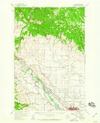
1958 · Thorp
USGS Topo · 1:62,500
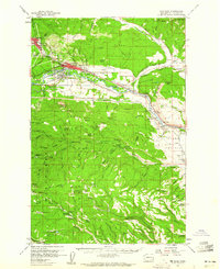
1958 · Cle Elum
USGS Topo · 1:62,500