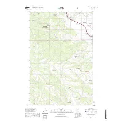
2020 Map of Taneum Canyon
USGS Topo · Published 2020About this map
Wenatchee National Forest encompasses much of this Kittitas County landscape, where the high terrain of South Cle Elum Ridge drops away into a complex system of drainage basins. The area is defined by its deep incisions, notably Taneum Canyon and Watt Canyon, which channel water toward the agricultural lands of the Yakima Valley. The transition from timbered forest to open land is marked by Thorp Prairie and the vital irrigation infrastructure of the Main Canal and KRD Canal.
Find a feature on this map
40 named features on this map. Tap any name to fly to it.
Don’t see what you’re looking for? This feature index may not catch every label — zoom into the map to look around manually.
Map Details
Editions of this 2020 Taneum Canyon Map
This is the sole edition of this map. No revisions or reprints were ever made.
Other maps of this area

1897 · Mount Stuart
USGS Topo · 1:125,000

1899 · Ellensburg
USGS Topo · 1:125,000

1901 · Ellensburg
USGS Topo · 1:125,000

1902 · Mount Stuart
USGS Topo · 1:125,000

1950 · Yakima
USGS Topo · 1:250,000

1957 · Wenatchee
USGS Topo · 1:250,000

1958 · Thorp
USGS Topo · 1:24,000

1958 · Ellensburg
USGS Topo · 1:62,500

1958 · Thorp
USGS Topo · 1:62,500

1958 · Cle Elum
USGS Topo · 1:62,500