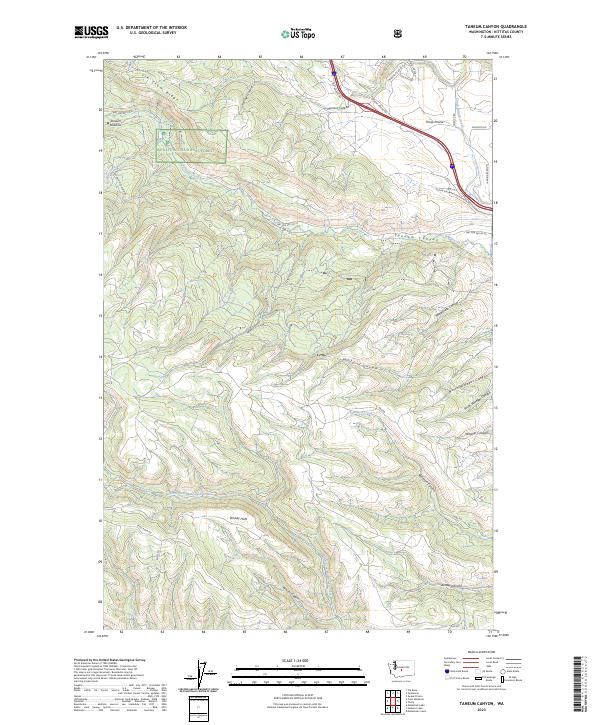
2023 Map of Taneum Canyon
USGS Topo · Published 2023About this map
The Wenatchee National Forest dominates this Kittitas County landscape, where the high-elevation terrain of South Cle Elum Ridge transitions into a complex system of drainages. The map centers on the deeply carved Taneum Canyon and its associated waterway, Taneum Creek, which cuts through the central sections alongside Watt Canyon and Robinson Canyon. To the south, the North Fork Manastash Creek flows near the open expanse of Whisky Flats, a name reflecting the region's rugged history of high-country ranching and timber activity.
Find a feature on this map
40 named features on this map. Tap any name to fly to it.
Don’t see what you’re looking for? This feature index may not catch every label — zoom into the map to look around manually.
Map Details
Editions of this 2023 Taneum Canyon Map
This is the sole edition of this map. No revisions or reprints were ever made.
Other maps of this area

1897 · Mount Stuart
USGS Topo · 1:125,000

1899 · Ellensburg
USGS Topo · 1:125,000

1901 · Ellensburg
USGS Topo · 1:125,000

1902 · Mount Stuart
USGS Topo · 1:125,000

1950 · Yakima
USGS Topo · 1:250,000

1957 · Wenatchee
USGS Topo · 1:250,000

1958 · Thorp
USGS Topo · 1:24,000

1958 · Ellensburg
USGS Topo · 1:62,500

1958 · Thorp
USGS Topo · 1:62,500

1958 · Cle Elum
USGS Topo · 1:62,500