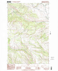
1985 Map of Taneum Canyon
USGS Topo · Published 1985About this map
Cle Elum Ridge and the deep incisions of Taneum Canyon dominate this part of the Washington backcountry in the mid-1980s. The landscape is primarily defined by large-scale conservation and resource management, spanning the Wenatchee National Forest and several state-managed territories, including the L T Murray State Wildlife Recreation Area. This terrain reflects a transition from the high ridges down toward Thorp Prairie, where drainage systems like Taneum Creek and North Fork Manastash Creek have carved significant gulches such as Robinson Canyon and Rattlesnake Canyon. For those tracing historical land use, the map identifies specific points of activity including several Gravel Pits, a Quarry, and the Taneum Forest Service Station. Remote high-elevation spots like Taneum Meadow and Whisky Flats are connected by a network of unimproved roads like Shell Rock Road, used for forest access and wildlife management.
Find a feature on this map
34 named features on this map. Tap any name to fly to it.
Don’t see what you’re looking for? This feature index may not catch every label — zoom into the map to look around manually.
Map Details
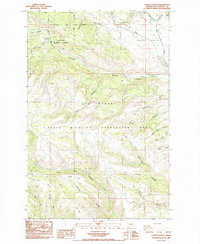
Editions of this 1985 Taneum Canyon Map
2 editions found
Other maps of this area

1897 · Mount Stuart
USGS Topo · 1:125,000

1899 · Ellensburg
USGS Topo · 1:125,000

1901 · Ellensburg
USGS Topo · 1:125,000

1902 · Mount Stuart
USGS Topo · 1:125,000

1950 · Yakima
USGS Topo · 1:250,000

1957 · Wenatchee
USGS Topo · 1:250,000

1958 · Thorp
USGS Topo · 1:24,000

1958 · Ellensburg
USGS Topo · 1:62,500

1958 · Thorp
USGS Topo · 1:62,500

1958 · Cle Elum
USGS Topo · 1:62,500