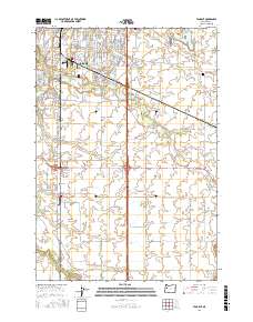
2017 Map of Tangent
USGS Topo · Published 2017About this map
The southern residential expansion of Albany transitions into the agricultural plains of the Willamette Valley in this 2017 survey. The city's grid gives way to the campus of Linn - Benton Community College and the smaller settlement of Tangent, where the landscape is defined by a dense network of country roads and irrigation. Water management is a primary theme of this terrain, anchored by the Albany Santiam Canal and the meandering Calapooia River in the southwest. Smaller drainages like Periwinkle Creek and Little Oak Creek cut across the flat lands, reflecting the historical importance of drainage and water rights in this farming region. Notable landmarks including the Fairview Cemetery and the private Roppair Airport provide specific points of interest for genealogists and local historians tracking the development of Linn County’s rural infrastructure.
Find a feature on this map
95 named features on this map. Tap any name to fly to it.
Don’t see what you’re looking for? This feature index may not catch every label — zoom into the map to look around manually.
Map Details
Editions of this 2017 Tangent Map
This is the sole edition of this map. No revisions or reprints were ever made.
Other maps of this area
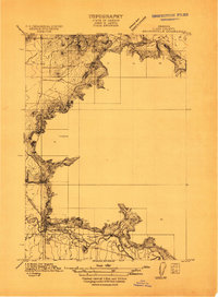
1911 · Brownsville
USGS Topo · 1:31,680
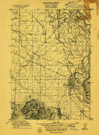
1911 · Lebanon
USGS Topo · 1:31,680
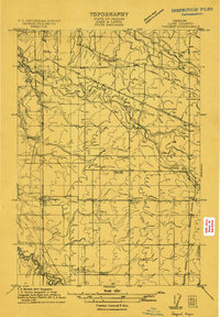
1911 · Tangent
USGS Topo · 1:31,680
1912 · Jefferson
USGS Topo · 1:31,680
1912 · Halsey
USGS Topo · 1:62,500
1913 · Oakville
USGS Topo · 1:31,680
1913 · Wells
USGS Topo · 1:31,680
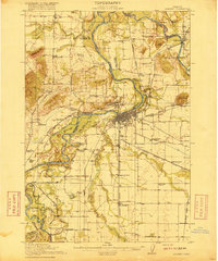
1916 · Albany
USGS Topo · 1:62,500
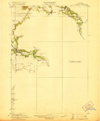
1921 · Brownsville
USGS Topo · 1:62,500
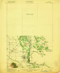
1921 · Lebanon
USGS Topo · 1:62,500