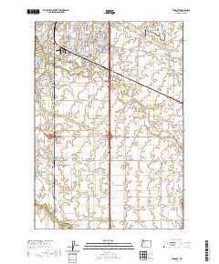
2020 Map of Tangent
USGS Topo · Published 2020About this map
Albany and the surrounding Willamette Valley landscape are defined by a complex network of waterways and modern infrastructure. This detailed survey captures the southern residential expansion of the city, where the Albany Santiam Canal and Periwinkle Cr meander through developed neighborhoods. The southern portion of the quadrangle transitions into a agricultural layout centered on the community of Tangent.
Find a feature on this map
98 named features on this map. Tap any name to fly to it.
Don’t see what you’re looking for? This feature index may not catch every label — zoom into the map to look around manually.
Map Details
Editions of this 2020 Tangent Map
This is the sole edition of this map. No revisions or reprints were ever made.
Other maps of this area
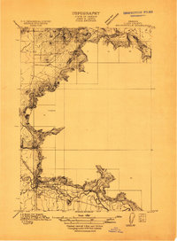
1911 · Brownsville
USGS Topo · 1:31,680
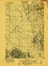
1911 · Lebanon
USGS Topo · 1:31,680
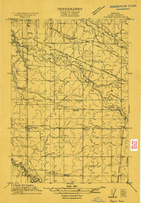
1911 · Tangent
USGS Topo · 1:31,680
1912 · Jefferson
USGS Topo · 1:31,680
1912 · Halsey
USGS Topo · 1:62,500
1913 · Oakville
USGS Topo · 1:31,680
1913 · Wells
USGS Topo · 1:31,680
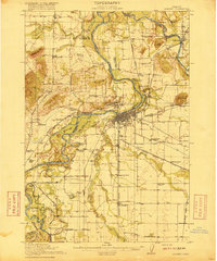
1916 · Albany
USGS Topo · 1:62,500
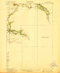
1921 · Brownsville
USGS Topo · 1:62,500
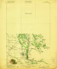
1921 · Lebanon
USGS Topo · 1:62,500