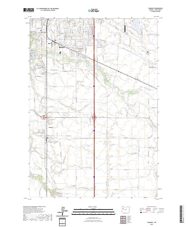
2023 Map of Tangent
USGS Topo · Published 2023About this map
Albany and Tangent occupy a landscape defined by the drainage network of the Willamette Valley, where several small creeks and the Calapooia River meander through level farmland. The area is marked by significant educational and transit infrastructure, including the campus of Linn - Benton Community College and the specialized Roppair Airport. The presence of the Albany Santiam Canal in the northeast quadrant reflects the region's historical water management and industrial needs, while smaller features like Maddys Pond and Shedd Slough punctuate the southern fields.
Find a feature on this map
63 named features on this map. Tap any name to fly to it.
Don’t see what you’re looking for? This feature index may not catch every label — zoom into the map to look around manually.
Map Details
Editions of this 2023 Tangent Map
This is the sole edition of this map. No revisions or reprints were ever made.
Other maps of this area

1911 · Brownsville
USGS Topo · 1:31,680

1911 · Lebanon
USGS Topo · 1:31,680

1911 · Tangent
USGS Topo · 1:31,680

1912 · Jefferson
USGS Topo · 1:31,680

1912 · Halsey
USGS Topo · 1:62,500

1913 · Oakville
USGS Topo · 1:31,680

1913 · Wells
USGS Topo · 1:31,680

1916 · Albany
USGS Topo · 1:62,500

1921 · Brownsville
USGS Topo · 1:62,500

1921 · Lebanon
USGS Topo · 1:62,500