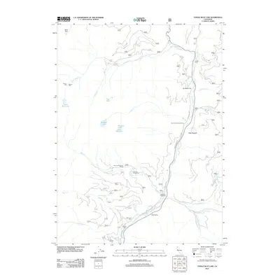
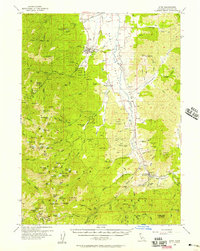
2012 Map of Tangle Blue Lake
USGS Topo · Published 2012About this map
Trinity River drainage systems define this high-elevation landscape, where seasonal camps and remote ranching outposts meet the recreational corridors of the modern era. The map details a network of mountain water bodies including Tangle Blue Lake, Big Bear Lake, and the smaller Wee Bear Lake, all feeding into the creek systems that eventually join the main river channel. Traces of early 20th-century habitation are visible at Messner Cabin and Trumble Ranch, while the southern reaches show the transition to valley floors at Sunny Flat and Cold Valley. The infrastructure reflects a shift toward public land use, marked by locations such as the Eagle Creek Campground and Horse Flat Campground. Forest Service roads and trailheads like the Bear Creek Loop provide access to the glaciated terrain around Black Rock, connecting isolated resource-rich flats like Sunflower Flat and Meter Meadow.
Find a feature on this map
51 named features on this map. Tap any name to fly to it.
Don’t see what you’re looking for? This feature index may not catch every label — zoom into the map to look around manually.
Map Details
Editions of this 2012 Tangle Blue Lake Map
This is the sole edition of this map. No revisions or reprints were ever made.
Other maps of this area
1886 · Shasta
USGS Topo · 1:250,000
1894 · Shasta
USGS Topo · 1:250,000
1923 · Sawyers Bar
USGS Topo · 1:125,000
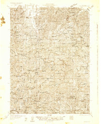
1931 · Etna
USGS Topo · 1:96,000
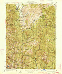
1934 · Etna
USGS Topo · 1:125,000

1948 · Weed
USGS Topo · 1:250,000

1950 · Weed
USGS Topo · 1:250,000
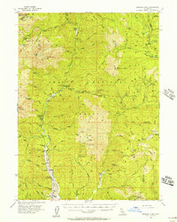
1955 · Bonanza King
USGS Topo · 1:62,500
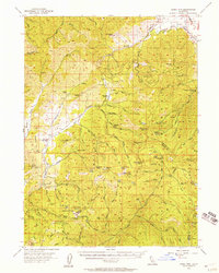
1955 · China Mountain
USGS Topo · 1:62,500
1955 · Etna
USGS Topo · 1:62,500