
2017 Map of Tanner Butte
USGS Topo · Published 2017About this map
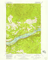
Tanner Butte rises as a central landmark within the Mount Hood National Forest south of the Columbia River. The terrain is defined by a series of dramatic vertical drops, indicated by numerous named cascades such as Wahclella Falls, Tanner Creek Falls, and Elowah Falls. In the northern section, the landscape meets the river at the Hamilton Island Reach, where Ives Island sits near the shore. The interior of the forest is accessed via timber and service routes like Tanner Creek Rd and Talapus Ridge Rd. These pathways lead toward high-elevation points like Mt Talapus and Eagle Butte. The southern portion of the quadrangle transitions toward the Bull Run River drainage, showing a dense network of springs and ponds including Tanner Spring and Thrush Pond, essential water sources for the regional topography.
Find a feature on this map
60 named features on this map. Tap any name to fly to it.
Don’t see what you’re looking for? This feature index may not catch every label — zoom into the map to look around manually.
Map Details
Editions of this 2017 Tanner Butte Map
This is the sole edition of this map. No revisions or reprints were ever made.
Other maps of this area
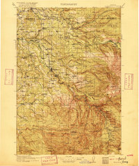
1916 · Estacada
USGS Topo · 1:125,000
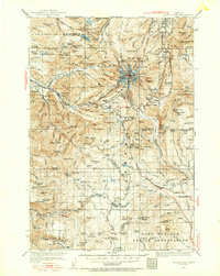
1924 · Mount Hood
USGS Topo · 1:125,000
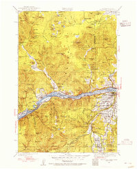
1926 · Hood River
USGS Topo · 1:125,000
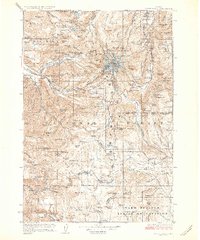
1927 · Mount Hood
USGS Topo · 1:125,000
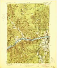
1929 · Hood River
USGS Topo · 1:125,000
1948 · Vancouver
USGS Topo · 1:250,000
1950 · Vancouver
USGS Topo · 1:250,000
1950 · Vancouver
USGS Topo · 1:250,000

1953 · The Dalles
USGS Topo · 1:250,000
1954 · Bridal Veil
USGS Topo · 1:62,500