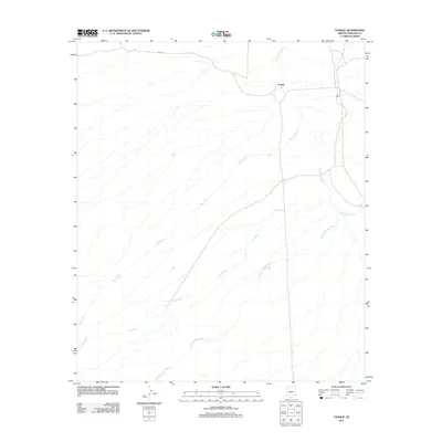
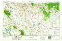
2011 Map of Tanque
USGS Topo · Published 2011About this map
The Tanque settlement and the L L Ranch define this arid Graham County landscape, where human presence is tied to the movement of water through the desert. The San Simon River winds through the eastern portion of the map, serving as a primary drainage corridor for several smaller ephemeral channels. These include the long stretches of W A Wash, Owl Wash, and Willow Spring Wash that cross the alluvial plain.
Find a feature on this map
7 named features on this map. Tap any name to fly to it.
Don’t see what you’re looking for? This feature index may not catch every label — zoom into the map to look around manually.
Map Details
Editions of this 2011 Tanque Map
This is the sole edition of this map. No revisions or reprints were ever made.
Other maps of this area
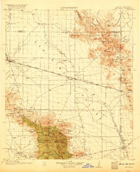
1917 · San Simon
USGS Topo · 1:125,000
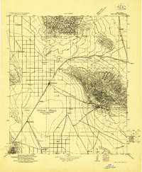
1922 · Willcox
USGS Topo · 1:125,000
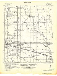
1928 · Bowie
USGS Topo · 1:62,500
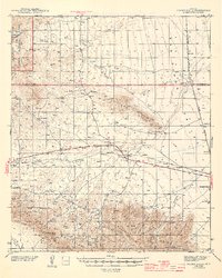
1944 · Fisher Hills
USGS Topo · 1:62,500
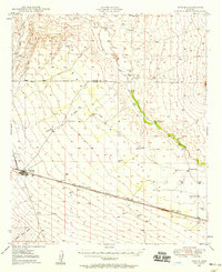
1949 · Bowie
USGS Topo · 1:62,500
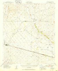
1950 · Bowie
USGS Topo · 1:62,500

1954 · Silver City
USGS Topo · 1:250,000
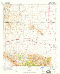
1957 · Luzena
USGS Topo · 1:62,500

1958 · Silver City
USGS Topo · 1:250,000
1962 · Silver City
USGS Topo · 1:250,000