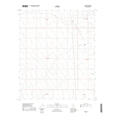
2018 Map of Tanque
USGS Topo · Published 2018About this map
Tanque stands as a focal point in this 2018 survey of the San Simon Valley, where the arid landscape is defined by an intricate network of seasonal drainage patterns. The San Simon River meanders through the eastern portion of the quadrangle, serving as the primary hydrological artery for the region. The terrain is deeply inscribed by numerous ephemeral waterways, including W A Wash, Owl Wash, and the extensive Willow Spring Wash, which flow down from higher elevations to join the valley floor. Transportation in this corner of Graham County is facilitated by Tanque Rd, providing access across the township and range lines of the Gila and Salt River Meridian. The map captures a quiet expanse of the Arizona desert, where land use is marked more by the natural topography of Timber Draw and Cove Draw than by dense settlement.
Find a feature on this map
16 named features on this map. Tap any name to fly to it.
Don’t see what you’re looking for? This feature index may not catch every label — zoom into the map to look around manually.
Map Details
Editions of this 2018 Tanque Map
This is the sole edition of this map. No revisions or reprints were ever made.
Other maps of this area
1917 · San Simon
USGS Topo · 1:125,000
1922 · Willcox
USGS Topo · 1:125,000
1928 · Bowie
USGS Topo · 1:62,500
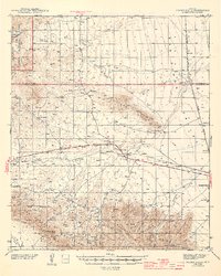
1944 · Fisher Hills
USGS Topo · 1:62,500
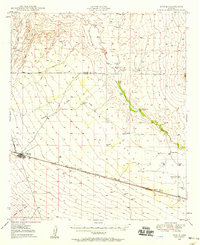
1949 · Bowie
USGS Topo · 1:62,500
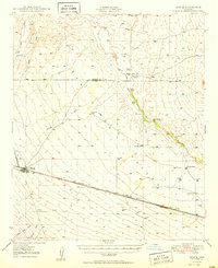
1950 · Bowie
USGS Topo · 1:62,500

1954 · Silver City
USGS Topo · 1:250,000
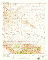
1957 · Luzena
USGS Topo · 1:62,500

1958 · Silver City
USGS Topo · 1:250,000
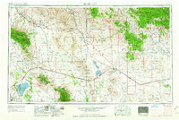
1962 · Silver City
USGS Topo · 1:250,000