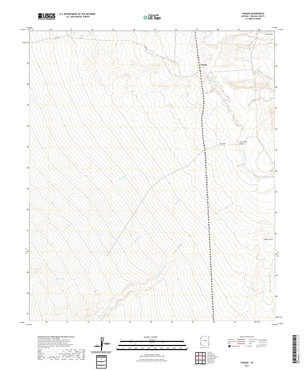
2021 Map of Tanque
USGS Topo · Published 2021About this map
Tanque stands as a focal point within the San Simon Valley in this desert landscape defined by an intricate system of drainages. The San Simon River winds through the northern portion of the quadrangle, joined by a series of significant washes that illustrate the hydrologic pattern of the region. W A Wash, Owl Wash, and Willow Spring Wash dominate the central and southern terrain, their paths carved through the arid soil towards the river valley. The presence of Tanque Rd provides the primary overland connection across the eastern flats, while localized features like Timber Draw and Cove Draw mark the gradual shifts in elevation. This map is particularly useful for understanding the grazing and water-rights geography of Graham County, where named watercourses were vital for land management and settlement in the late twentieth and early twenty-first centuries.
Find a feature on this map
15 named features on this map. Tap any name to fly to it.
Don’t see what you’re looking for? This feature index may not catch every label — zoom into the map to look around manually.
Map Details
Editions of this 2021 Tanque Map
This is the sole edition of this map. No revisions or reprints were ever made.
Other maps of this area

1917 · San Simon
USGS Topo · 1:125,000

1922 · Willcox
USGS Topo · 1:125,000

1928 · Bowie
USGS Topo · 1:62,500

1944 · Fisher Hills
USGS Topo · 1:62,500

1949 · Bowie
USGS Topo · 1:62,500

1950 · Bowie
USGS Topo · 1:62,500

1954 · Silver City
USGS Topo · 1:250,000

1957 · Luzena
USGS Topo · 1:62,500

1958 · Silver City
USGS Topo · 1:250,000

1962 · Silver City
USGS Topo · 1:250,000