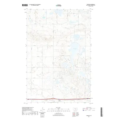
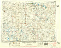
2017 Map of Tappen NE
USGS Topo · Published 2017About this map
The prairie landscape of Kidder County is defined here by its numerous glacial potholes and wetlands, most prominently the large Salt Alkaline Lake in the eastern portion of the quadrangle. This 2017 survey reveals a strictly organized section-line road network characteristic of North Dakota's farming regions, with corridors like 30th St SE and 36th St SE carving through the terrain.
Find a feature on this map
17 named features on this map. Tap any name to fly to it.
Don’t see what you’re looking for? This feature index may not catch every label — zoom into the map to look around manually.
Map Details
Editions of this 2017 Tappen NE Map
This is the sole edition of this map. No revisions or reprints were ever made.
Other maps of this area
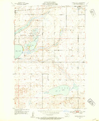
1952 · Tappen South
USGS Topo · 1:24,000
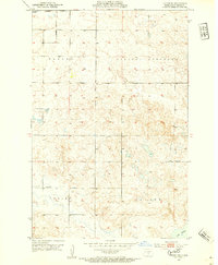
1952 · Tappen SE
USGS Topo · 1:24,000
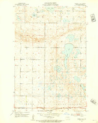
1952 · Tappen NE
USGS Topo · 1:24,000
1952 · Tappen North
USGS Topo · 1:24,000
1952 · New Rockford
USGS Topo · 1:250,000

1953 · Jamestown
USGS Topo · 1:250,000
1955 · Crystal Springs
USGS Topo · 1:24,000
1955 · Medina SW
USGS Topo · 1:24,000
1956 · New Rockford
USGS Topo · 1:250,000

1956 · Jamestown
USGS Topo · 1:250,000