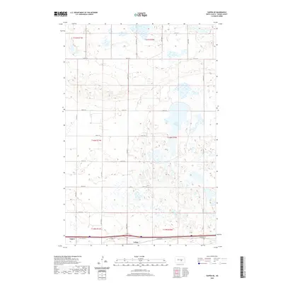
2020 Map of Tappen NE
USGS Topo · Published 2020About this map
Tappen and the neighboring locale of Ladoga anchor the southern edge of this landscape, situated along the primary corridor of Van Buren Ave. This portion of Kidder County is defined by its numerous prairie potholes and wetlands, most notably the large Salt Alkaline Lake and the smaller Kleiter Slough near the northern boundary. The terrain is structured by a rigid grid of section lines and gravel roads, including 29th St SE and 42nd Ave SE, which reflect the agricultural heritage of the region. The map captures a transition from the semi-arid northern plains into a complex network of seasonal water bodies, illustrating the land-use patterns common to central North Dakota in the early 21st century.
Find a feature on this map
24 named features on this map. Tap any name to fly to it.
Don’t see what you’re looking for? This feature index may not catch every label — zoom into the map to look around manually.
Map Details
Editions of this 2020 Tappen NE Map
This is the sole edition of this map. No revisions or reprints were ever made.
Other maps of this area

1952 · Tappen South
USGS Topo · 1:24,000

1952 · Tappen SE
USGS Topo · 1:24,000

1952 · Tappen NE
USGS Topo · 1:24,000

1952 · Tappen North
USGS Topo · 1:24,000

1952 · New Rockford
USGS Topo · 1:250,000

1953 · Jamestown
USGS Topo · 1:250,000

1955 · Crystal Springs
USGS Topo · 1:24,000

1955 · Medina SW
USGS Topo · 1:24,000

1956 · New Rockford
USGS Topo · 1:250,000

1956 · Jamestown
USGS Topo · 1:250,000