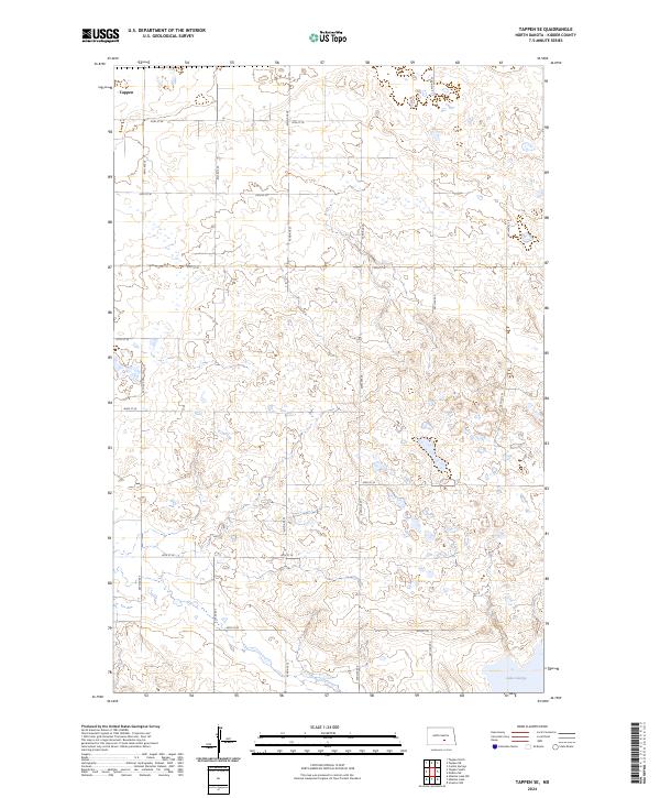
2024 Map of Tappen SE
USGS Topo · Published 2024About this map
The prairie landscape of southern Kidder County unfolds across this contemporary survey, defined by the glaciated terrain of the Missouri Coteau. Much of the southeast corner is dedicated to the Lake George National Wildlife Refuge, which encompasses the alkaline waters of Lake George. This protected area provides a glimpse into the native wetland habitats that characterize the region's pothole ecology.
Find a feature on this map
15 named features on this map. Tap any name to fly to it.
Don’t see what you’re looking for? This feature index may not catch every label — zoom into the map to look around manually.
Map Details
Editions of this 2024 Tappen SE Map
This is the sole edition of this map. No revisions or reprints were ever made.
Other maps of this area

1952 · Tappen South
USGS Topo · 1:24,000

1952 · Tappen SE
USGS Topo · 1:24,000

1952 · Tappen NE
USGS Topo · 1:24,000

1952 · Tappen North
USGS Topo · 1:24,000

1953 · Jamestown
USGS Topo · 1:250,000

1955 · Crystal Springs
USGS Topo · 1:24,000

1955 · Medina SW
USGS Topo · 1:24,000

1956 · Jamestown
USGS Topo · 1:250,000
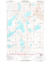
1975 · Tappen North
USGS Topo · 1:24,000

1975 · Medina SW
USGS Topo · 1:24,000