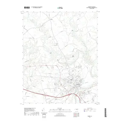
2019 Map of Tarboro
USGS Topo · Published 2019About this map
Princeville and Tarboro occupy a significant bend of the Tar River, a landscape defined by its relation to the water and its complex topography. The map illustrates the density of civic and religious life in these historic North Carolina communities, featuring numerous burial sites such as the Old Town Cem, Calvary Episcopal Churchyard, and the Tarboro Primitive Baptist Church Cem. The surrounding environment is a network of wetlands and creeks, including Fishing Creek and the meandering Harts Mill Run, which contrast with the modern infrastructure of the Tarboro-Edgecombe Airport and Edgecombe Community Coll. North of the river, the small settlement of Leggett marks a rural crossroads, while features like Hemmed Island and the Tarboro Canal reflect the region's managed waterways and riverine geography.
Find a feature on this map
131 named features on this map. Tap any name to fly to it.
Don’t see what you’re looking for? This feature index may not catch every label — zoom into the map to look around manually.
Map Details
Editions of this 2019 Tarboro Map
This is the sole edition of this map. No revisions or reprints were ever made.
Other maps of this area

1901 · Parmele
USGS Topo · 1:62,500

1902 · Parmele
USGS Topo · 1:62,500

1902 · Tarboro
USGS Topo · 1:62,500

1903 · Tarboro
USGS Topo · 1:62,500

1953 · Norfolk
USGS Topo · 1:250,000

1953 · Rocky Mount
USGS Topo · 1:250,000

1954 · Rocky Mount
USGS Topo · 1:250,000

1960 · Draughn
USGS Topo · 1:24,000

1961 · Whitakers
USGS Topo · 1:24,000

1962 · Hobgood
USGS Topo · 1:24,000