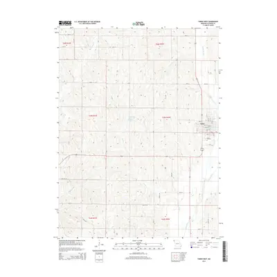
2014 Map of Tarkio West
USGS Topo · Published 2014About this map
Tarkio occupies the eastern edge of this landscape, its residential grid defined by streets like Broad St and Main St. The town's southern reach is anchored by the Home Cemetery, while the surrounding terrain is a network of agricultural drainage and small water bodies. The Tarkio River and Middle Tarkio Cr drain the eastern lowlands, while the central hills feature the Centerview Fishing Lake Jeff Broady Lake. This survey illustrates the modern rural infrastructure of Atchison County, where section-line roads such as Mo-Aa and Mo-J connect isolated farmsteads across the rolling divides of Rock Cr and Mill Cr. The layout of the town and its outlying cemeteries provides essential geographic data for those tracing local family history and the development of Northwest Missouri.
Find a feature on this map
49 named features on this map. Tap any name to fly to it.
Don’t see what you’re looking for? This feature index may not catch every label — zoom into the map to look around manually.
Map Details
Editions of this 2014 Tarkio West Map
This is the sole edition of this map. No revisions or reprints were ever made.
Other maps of this area
1915 · Nemaha
USGS Topo · 1:62,500
1936 · Fairfax
USGS Topo · 1:24,000
1939 · Tarkio
USGS Topo · 1:62,500
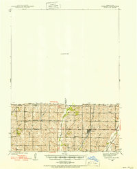
1939 · Farragut
USGS Topo · 1:62,500
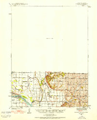
1939 · Hamburg
USGS Topo · 1:62,500
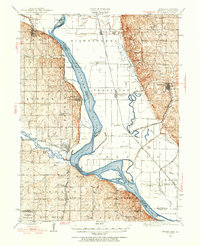
1939 · Nemaha
USGS Topo · 1:62,500
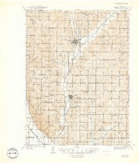
1940 · Tarkio
USGS Topo · 1:62,500
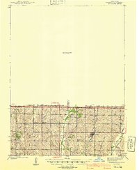
1940 · Farragut
USGS Topo · 1:62,500
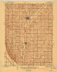
1941 · Tarkio
USGS Topo · 1:62,500
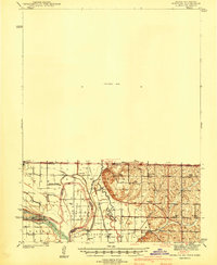
1941 · Hamburg
USGS Topo · 1:62,500