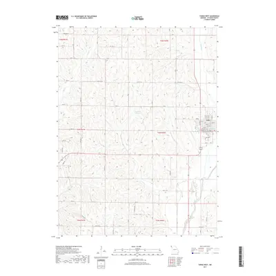
2017 Map of Tarkio West
USGS Topo · Published 2017About this map
The western edges of Tarkio define the eastern margin of this Northwest Missouri landscape, where the town street grid transitions into a sprawling agricultural network. The residential blocks, including Park St, Main St, and Walnut St, give way to the rural landscape of Atchison County. Just south of the town center lies Home Cem, a significant site for local genealogical research.
Find a feature on this map
47 named features on this map. Tap any name to fly to it.
Don’t see what you’re looking for? This feature index may not catch every label — zoom into the map to look around manually.
Map Details
Editions of this 2017 Tarkio West Map
This is the sole edition of this map. No revisions or reprints were ever made.
Other maps of this area
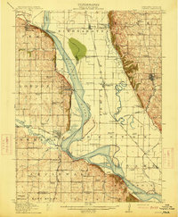
1915 · Nemaha
USGS Topo · 1:62,500
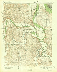
1936 · Fairfax
USGS Topo · 1:24,000
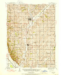
1939 · Tarkio
USGS Topo · 1:62,500
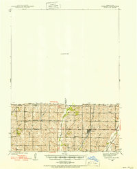
1939 · Farragut
USGS Topo · 1:62,500
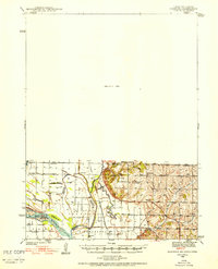
1939 · Hamburg
USGS Topo · 1:62,500
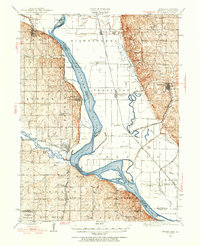
1939 · Nemaha
USGS Topo · 1:62,500
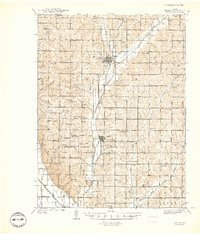
1940 · Tarkio
USGS Topo · 1:62,500
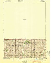
1940 · Farragut
USGS Topo · 1:62,500
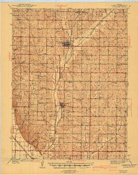
1941 · Tarkio
USGS Topo · 1:62,500
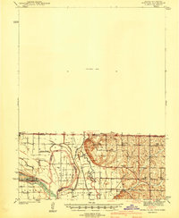
1941 · Hamburg
USGS Topo · 1:62,500