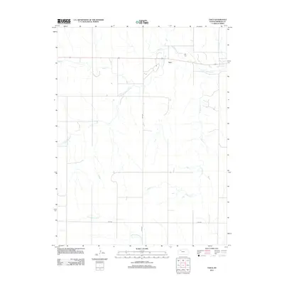
2012 Map of Tasco
USGS Topo · Published 2012About this map
The S Fork Solomon River and N Fork Saline River frame this Sheridan County landscape, where the settlement of Tasco sits at the intersection of local watercourses and regional transit. In the northern reaches, Sand Cr and Cortez Cr feed into the Solomon drainage, while the southern portion of the quadrangle is defined by the winding path of S Martin Cr. The layout of Co RD-503 and Co RD-406 reflects a grid-based agricultural organization, providing clear evidence of how land was partitioned and accessed in the early twenty-first century. These roads, along with the primary artery of Highway 24, illustrate the essential connection between small rural communities and the broader geography of the High Plains.
Find a feature on this map
10 named features on this map. Tap any name to fly to it.
Don’t see what you’re looking for? This feature index may not catch every label — zoom into the map to look around manually.
Map Details
Editions of this 2012 Tasco Map
This is the sole edition of this map. No revisions or reprints were ever made.
Other maps of this area

1954 · Goodland
USGS Topo · 1:250,000

1956 · Goodland
USGS Topo · 1:250,000

1957 · Goodland
USGS Topo · 1:250,000

1979 · Lucerne
USGS Topo · 1:24,000

1979 · Midway Draw West
USGS Topo · 1:24,000

1979 · Midway Draw East
USGS Topo · 1:24,000

1979 · Hoxie
USGS Topo · 1:24,000

1979 · Hoxie NE
USGS Topo · 1:24,000

1979 · Tasco
USGS Topo · 1:24,000

1979 · Studley
USGS Topo · 1:24,000